Cold Snap to Follow Wet First Half to November

After an exceptionally wet start to November, high pressure is set to bring more settled but noticeably colder weather across Ireland in the coming days.
Heavy rain on Friday and into the early hours of Saturday led to flooding in parts of the Midlands, the south and the southeast. Johnstown Castle in Wexford reported 66.9 mm of rainfall on Friday, which was its second wettest day on record. The station has recorded 176.2 mm so far this month, a figure that is already 53 per cent higher than its average for all of November.
Strong winds linked to Storm Claudia were recorded at several locations, including gusts of 93 km/h at Dublin Airport and 87 km/h at Casement Aerodrome.
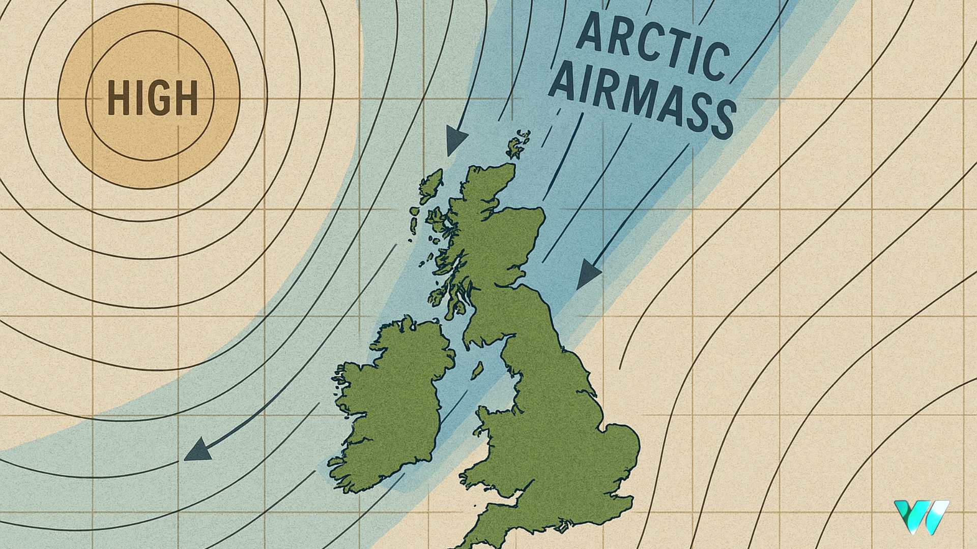
Rain gradually eased on Saturday as high pressure began to build from the north, allowing a colder Arctic maritime airmass to move across the country. While the chill had already taken hold in parts of inland north Ulster, it is expected to extend to all counties by Sunday night.
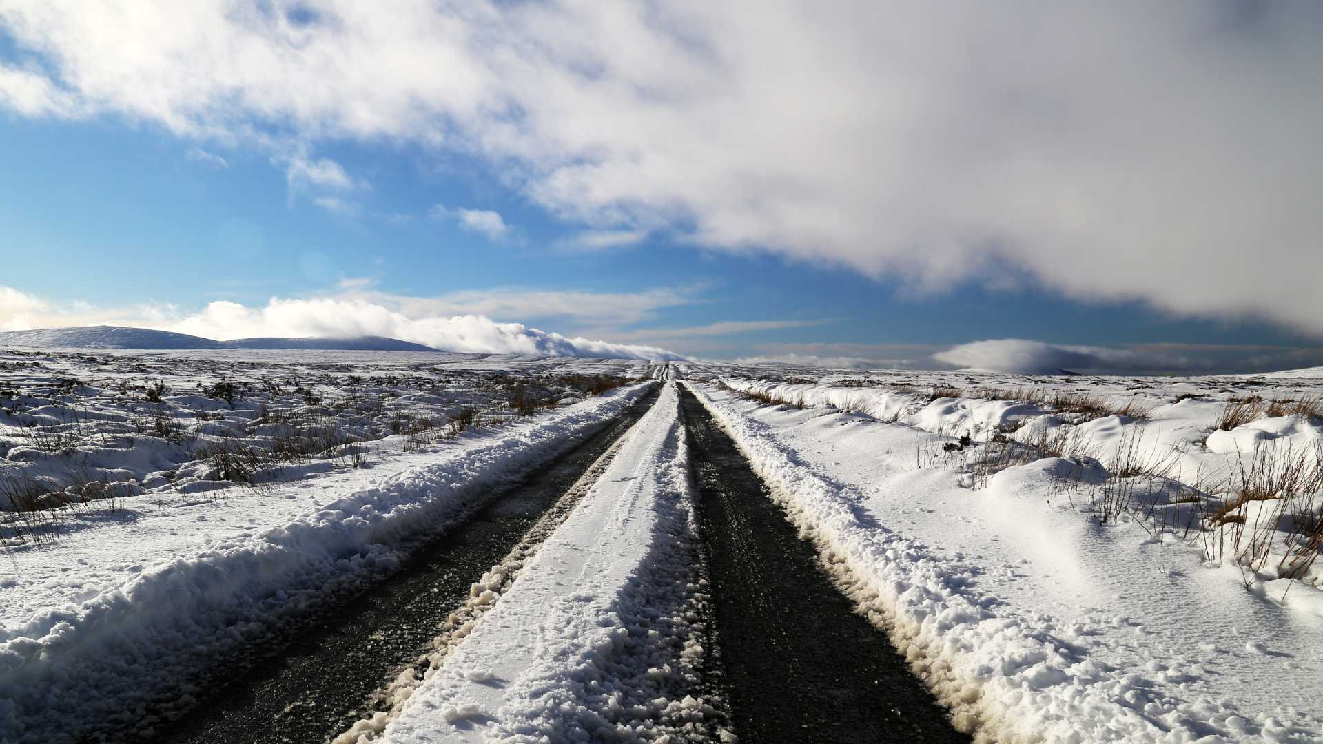
Temperatures are forecast to fall widely below freezing during the week, with lows of minus 4 degrees possible in sheltered inland areas. Daytime temperatures on Wednesday and Thursday may stay close to 5 degrees in some parts of inland Leinster.
A moderate northerly wind is expected to develop from midweek, increasing the wind chill. A small disturbance passing south across Ireland could bring a little wintry precipitation on the highest summits and may leave a light dusting of snow there.
By Friday the weather is forecast to turn milder and more unsettled once again as a southwesterly airflow returns, bringing periods of rain or showers along with brisk winds.
Share this WeathÉire story:


