Gradual shift to cooler and unsettled weather

A gradual shift to cooler and more unsettled weather will take place this coming weekend as the dry and warm spell comes to an end.
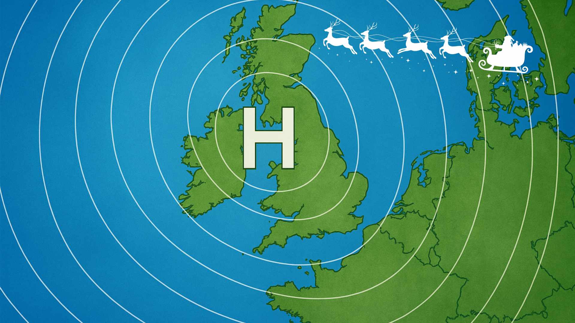
High pressure will shift southward and will be replaced by heavy, thundery showers through Sunday and Monday.
While there will be some good dry spells at times, further frontal systems will produce showers or longer spells of rain next week.
Temperatures will drop from present highs of 17–21°C to 10–12°C by Sunday and into next week.
Light and variable winds will shift westerly on Saturday evening as a cold front crosses the country. Winds will remain gentle, occasionally moderate, westerly through the first half of next week, but will become moderate and variable later in the week.
Rainfall totals will be close to the seasonal average up to midweek but will be above average for the second half of next week as Atlantic systems approach from the southwest.
The Easter Bank Holiday weekend weather outlook is uncertain at present, with model output varying between drier conditions and more unsettled weather with rain.
All models indicate a low-pressure system developing south of Ireland, bringing heavy rain and strong winds on Good Friday, with differing outcomes thereafter.
Some models show high pressure building over or to the north of Ireland, reintroducing dry and settled weather.
Other models show the area of low pressure bringing further outbreaks of rain over the weekend.
Models suggest that high pressure will eventually win through for the final week of April if it does not develop over the Easter weekend.
Share this WeathÉire story:


