Fernand Tracks Northeast, Weakening Over Atlantic Waters

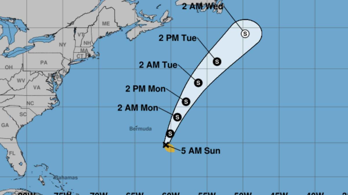
Tropical Storm Fernand remains a relatively weak and disorganised system over the Atlantic, according to the latest update from the US National Hurricane Center (NHC).
As of early Sunday morning, Fernand was generating winds of 35–40 knots (65–75 km/h), with scattered convection near the storm’s centre and a ragged outer band to the north. The system is moving north-northeast at approximately 13 knots (24 km/h), steered by the western edge of the subtropical ridge.
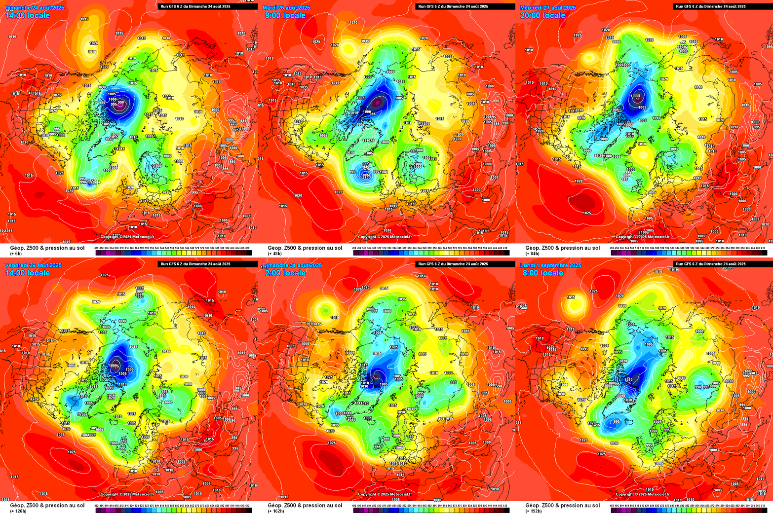
Forecast models indicate that Fernand will continue north-northeastward over the next few days before turning into the northeast Atlantic. By Saturday, it is expected to have considerably weakened into a shallow depression. Despite its reduced strength, the system is likely to contribute to the continuation of generally unsettled conditions across Ireland throughout the coming week.

While sea surface temperatures remain warm and wind shear is light, mid-level dry air may limit further intensification. Fernand could briefly strengthen to near 50 knots (93 km/h) before weakening as it moves into cooler waters and encounters increasing shear and dry air. The NHC expects the storm to transition to a post-tropical system within three days and dissipate entirely within four days.
Share this WeathÉire story:


