 in Irish Weather History 1")


Atlantic storms Humberto and Imelda to drive unsettled start to October in Ireland
Hurricane Humberto, currently a major Category 4 hurricane in the mid-Atlantic, and the soon-to-be-named Tropical Storm Imelda will significantly influence Ireland’s weather during the opening 10 days of October.
While both systems will become extratropical storms by the time they reach the northeast Atlantic, they will drive a more mobile Atlantic westerly airflow that will bring rain and, at times, strong winds over Ireland.
Humberto is forecast to move west of Bermuda on Tuesday as it turns north-northeast, eventually tracking between Ireland and Iceland later Friday into Saturday.
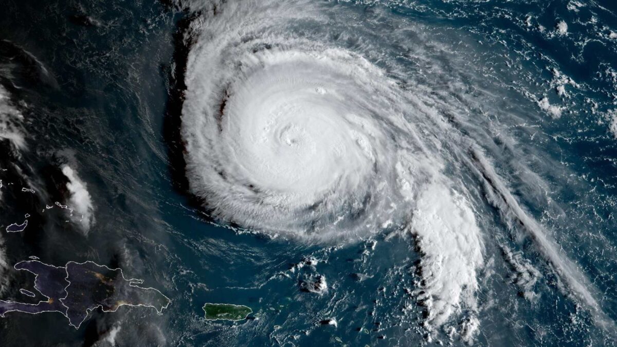
Currently, Humberto’s maximum sustained winds are near 250 km/h with higher gusts. The National Hurricane Center describes Humberto as an extremely dangerous Category 4 hurricane on the Saffir-Simpson Hurricane Wind Scale. It is expected to remain a powerful major hurricane for the next few days before weakening significantly to extratropical storm status by the end of the working week.
Unless there is an unexpected dramatic shift to its forecast track, Humberto will move northeast between Ireland and Iceland on Friday night into Saturday morning, producing fresh to strong winds across Ireland, particularly in the west and northwest. The system is, therefore, not expected to have a direct impact on Ireland.

Meanwhile, Tropical Depression Nine is likely to become Tropical Storm Imelda next week. The system is expected to produce rainfall totals of 4 to 8 inches across Cuba and 6 to 12 inches across the northwest Bahamas through Tuesday. It is forecast to strengthen further later in the week and could eventually reach hurricane status.
This system will also eventually track northeast toward Ireland, carried on an energised jet stream, and is expected to reach northwestern Europe by October 9–10. By then, it will have downgraded to an extratropical system but will contribute to a continuation of the unsettled start to October.

At present, a significant windstorm is not currently expected in Ireland over the next two weeks. However, the opening 10 days of October will be unsettled, with periods of rain and occasionally strong winds. Long range weather models suggest high pressure may build from the south by mid-month.


