Temperatures Near Average as Atlantic Systems Sweep In

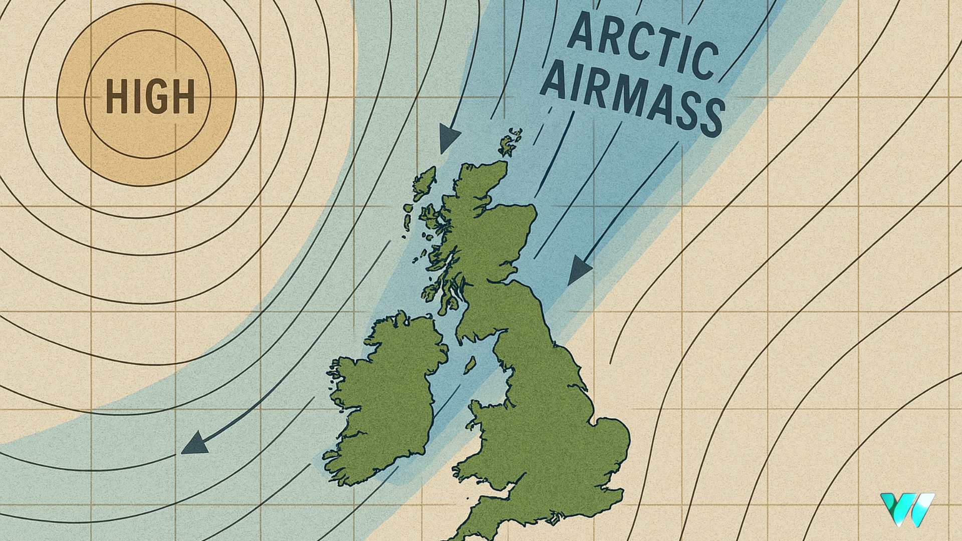
The UK Met Office is forecasting a spell of unsettled weather for the first half of October as Atlantic systems sweep in.
From Friday 3 October to Sunday 12 October, conditions could begin with a very disturbed period as a deep low is expected to pass to the north or northwest of Ireland and Britain.
This may bring very strong winds and heavy rain, particularly across northern areas. Into the following week, a generally westerly pattern is likely, with further weather systems moving in from the Atlantic. Southern regions are expected to see the best of any drier breaks.
Temperatures are likely to remain close to average by day, and while some overnight frost is possible later in the period, nothing exceptionally cold is predicted. Confidence in the finer details remains low due to ongoing tropical cyclone activity in the Atlantic.
Looking further ahead from Monday 13 October to Monday 27 October, a continuation of the broadly unsettled pattern is anticipated. Northern areas are likely to experience the most frequent wet and windy weather, while southern regions may enjoy longer drier spells, though with the potential for overnight frost and fog.
As westerly winds continue to dominate, daytime temperatures are expected to be slightly above the seasonal average and nights generally mild, with less fog than usual in southern areas.
Share this WeathÉire story:


