 in Irish Weather History 1")


National Hurricane Center Monitoring Two Atlantic Weather Systems
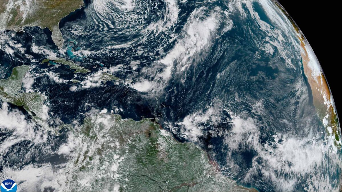
The National Hurricane Center (NHC) is closely tracking two separate weather systems in the Atlantic basin, as the 2025 hurricane season continues to show signs of activity deep into October.
Forecasters are paying particular attention to a tropical wave located more than 1,600 kilometres east of the Windward Islands. The system is producing widespread showers and thunderstorms and is moving westward at 25 to 30 km/h. While development is expected to be gradual, the disturbance could strengthen as it enters the Caribbean Sea next week, where warm waters and favourable upper-level winds may support tropical cyclone formation. If named, the storm would be called Melissa.
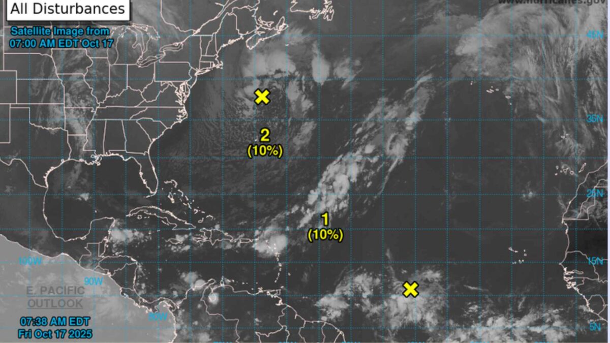
The second system under observation is a non-tropical low pressure area situated well off the northeastern coast of the United States. Meteorologists say there is a slight chance it could acquire subtropical characteristics over the weekend before moving northeastward into cooler waters early next week. Development chances for both systems remain low over the next 48 hours, with the tropical wave showing a 30 percent chance of formation over the next seven days.
The Caribbean Sea, often a hotspot for late-season tropical activity, is expected to see unsettled weather next week regardless of development, with heavy rainfall and gusty winds likely across the Windward Islands and beyond.
Share this WeathÉire story:

