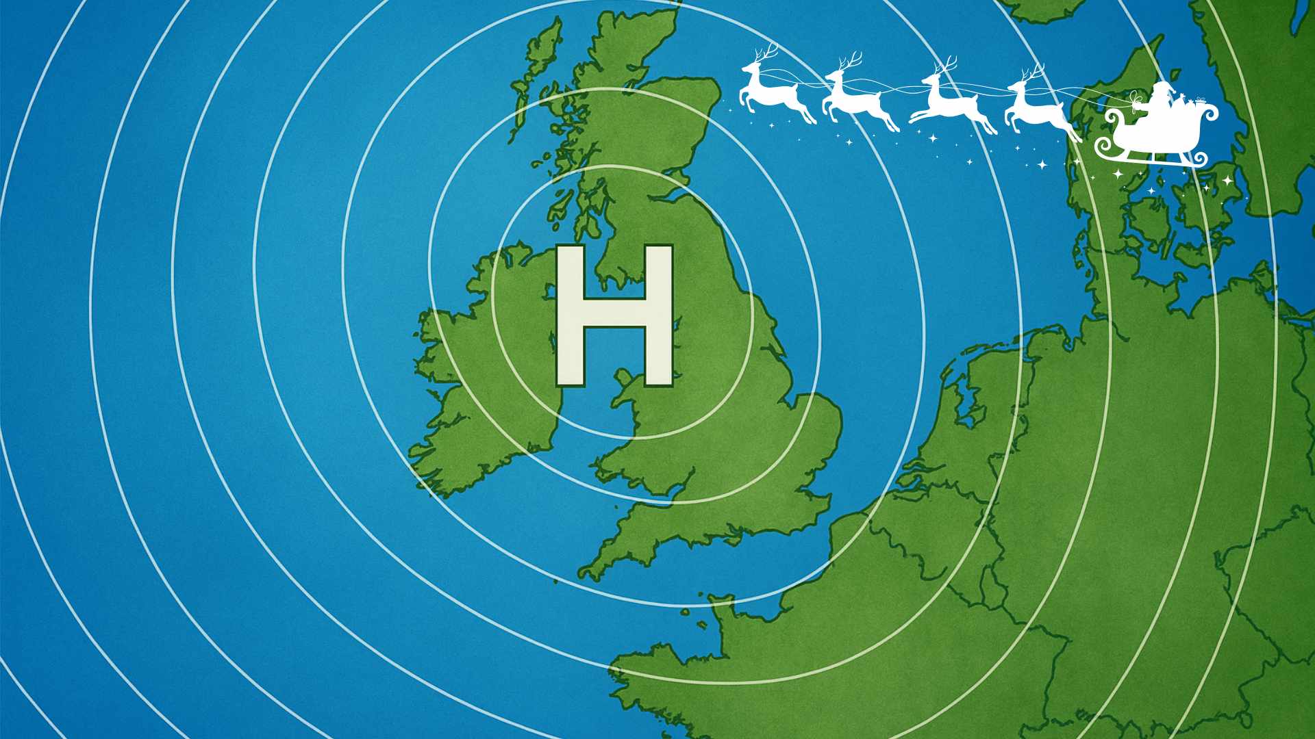
Dry week ahead, change on the way by Sunday

The coming week will feature dry weather and warmer-than-average temperatures, transitioning gradually to more unsettled conditions by Sunday and into the start of the following week.
Daytime highs will span 15-19°C, peaking in the western regions.
Overnight temperatures will dip near freezing, with light frost possible in inland areas.
Winds will be light variable throughout the week.
Abundant sunshine will persist through Thursday, though it will turn slightly hazier as the weekend nears.
Change on the way
On Sunday, showers or extended periods of rain will move northward from the south as high pressure shifts away from Ireland.
Temperatures will also drop a few degrees to 13-15°C.
The subsequent week will offer a blend of dry intervals and wetter spells, as Atlantic frontal systems bring further rain or showers.
Precipitation amounts will range from light to moderate.
As the Easter Bank Holiday Weekend approaches, high pressure will begin to regain dominance.
By the last 10 days of April, mostly dry and stable weather is anticipated to return.
The upcoming week will feature dry weather and warmer-than-average temperatures, transitioning gradually to more unsettled conditions by Sunday and into the start of the following week.
Daytime highs will span 15-19°C, peaking in the western regions.
Overnight temperatures will dip near freezing, with light frost possible in inland areas.
Winds will be light variable throughout the week.
Abundant sunshine will persist through Thursday, though it will turn slightly hazier as the weekend nears.
On Sunday, showers or extended periods of rain will move northward from the south as high pressure shifts away from Ireland.
Temperatures will also drop a few degrees to 13-15°C.
The subsequent week will offer a blend of dry intervals and wetter spells, as Atlantic frontal systems bring further rain or showers.
Precipitation amounts will range from light to moderate.
As the Easter Bank Holiday Weekend approaches, high pressure will begin to regain dominance.
By the last 10 days of April, mostly dry and stable weather is anticipated to return.
The below graphic shows high pressure waning later this week before rising as we move toward Easter. Precipitation increases and decreases during the same period.


