in Irish Weather History 1")


The Science Behind Storm Floris
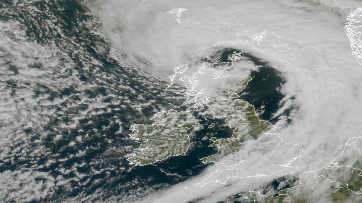
Storm Floris made headlines on Monday as it lashed Ireland with the strongest winds in over five months, delivering damaging gusts, widespread power outages, and rough coastal conditions—despite its arrival in August, a month not typically associated with powerful Atlantic storms.
More than 10,000 homes and businesses in the west and northwest lost electricity as the system swept across the country early Monday. The highest gust was recorded at Malin Head in County Donegal, which reached 104.5 km/h at 8.00am. This was the strongest wind speed recorded in Ireland since Valentia Observatory reported a gust of 109 km/h on February 20th. That event followed the more powerful Storm Éowyn, which produced a record-breaking gust of 184 km/h at Mace Head, County Galway, on January 24th.
While strong storms are more typical in autumn and winter, summer storms like Floris are not unusual when certain ingredients align. Here’s why it
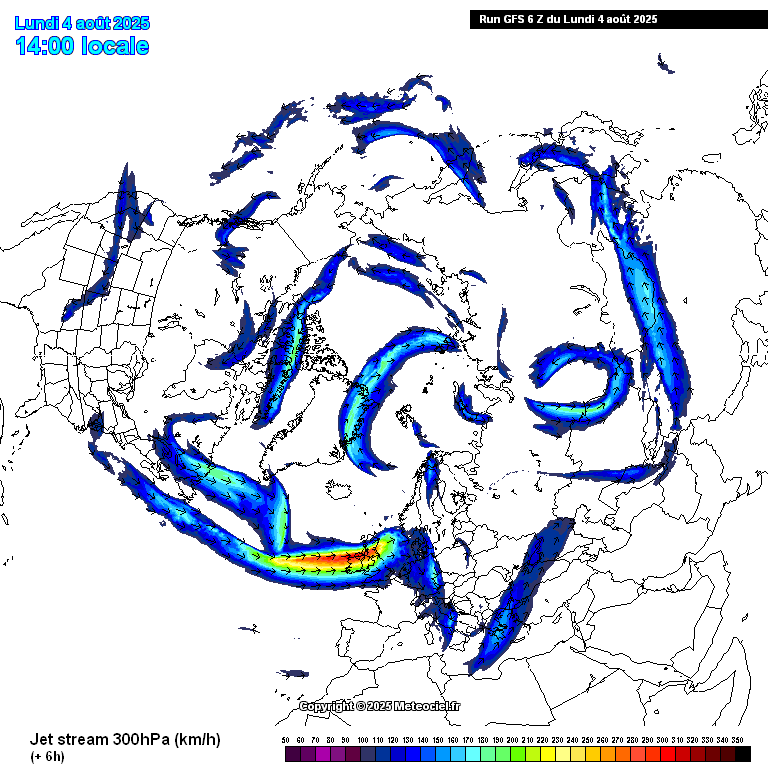
1. Jet Stream Position and Strength
A strong and southward-shifted jet stream—a fast-moving ribbon of air high in the atmosphere—provided the energy and steering mechanism for the development of Storm Floris. In this case, the jet stream intensified and dipped far enough south to help organise and deepen a low-pressure system in the North Atlantic.
2. Temperature Contrasts
Even in summer, sharp temperature contrasts between warm, humid subtropical air and cooler polar air can fuel storm development. These contrasts create instability and help deepen low-pressure systems, especially when interacting with the jet stream.
3. Sea Surface Temperatures
The North Atlantic has warmer-than-average sea surface temperatures in some areas, which can add additional moisture and energy to developing storms. This can enhance rainfall and wind speeds, even in what is typically a quieter season for storms.
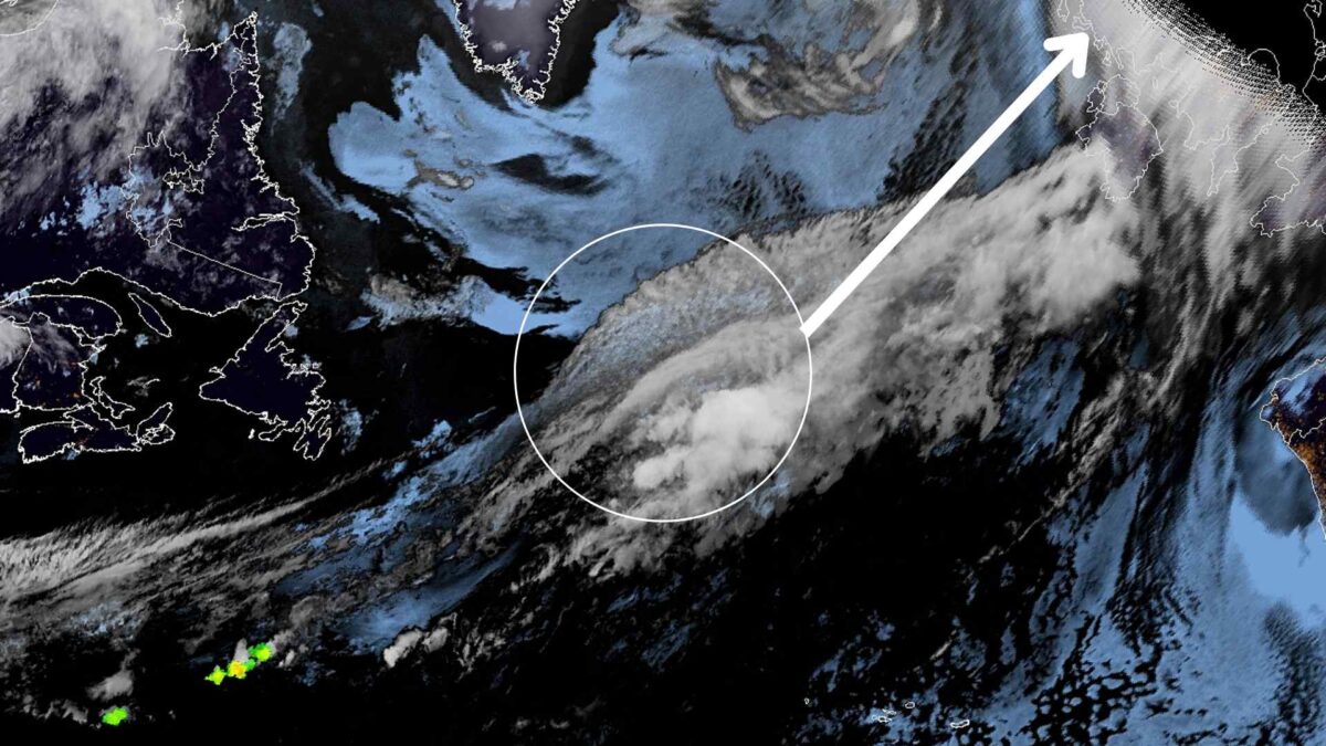
4. Pre-Existing Low Pressure
Storm Floris formed from a trough that developed off the coast of St. John’s in Newfoundland. These systems can quickly intensify if conditions are right, even in August.
Not Unprecedented
While gusts of this strength are rare during the summer, they are not without precedent. Malin Head recorded a gust of 115 km/h on August 1st, 1986. More recently, Storm Ellen brought a 143 km/h gust to Roches Point on August 19th, 2020. Storm Lilian produced a 96 km/h gust at the same station on August 23rd, 2024. Hurricane Charley also left a significant mark on August 25th, 1986, bringing severe wind and rainfall to many parts of Ireland.