 in Irish Weather History 1")


Remnants of Hurricane Erin may end Ireland’s dry spell
Hurricane Erin, currently intensifying over the western Atlantic, could ultimately help bring an end to Ireland’s ongoing spell of dry and settled weather in about ten days’ time.
The storm is not expected to reach Ireland as a hurricane. However, its remnants could steer the wider Atlantic weather pattern towards a more unsettled phase later this month. If this occurs, it may finally break the prolonged dryness that has persisted through much of August.
Ireland has experienced below-average rainfall for several weeks, with soil moisture deficits as high as 60mm in parts of Leinster and Munster, leading to restricted growth.
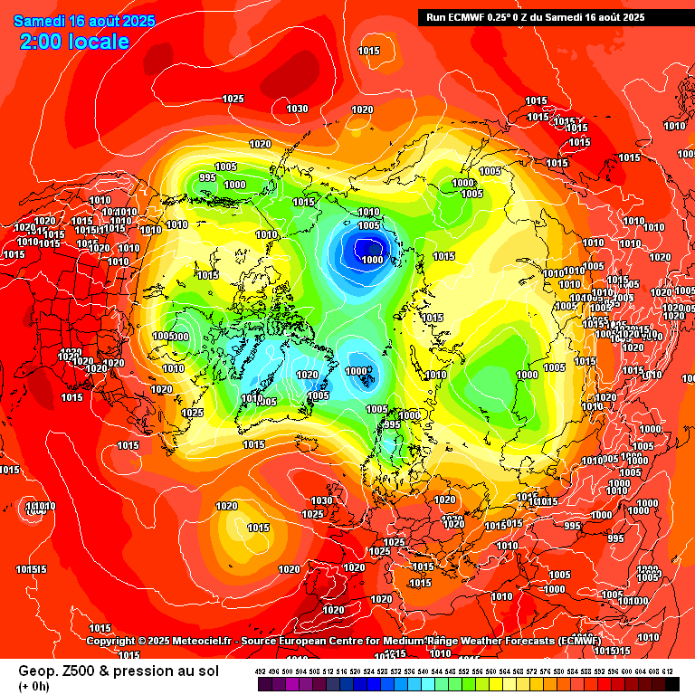
For now, conditions will stay largely dry and warmer than average, with only scattered showers in the week ahead. A shift to more unsettled weather will depend on how Erin interacts with the jet stream. Current guidance points to a possible breakdown of high pressure over Ireland around Monday, August 25th or Tuesday, August 26th. Long range weather model data shows the remnants of Erin tracking east to the north of Ireland.
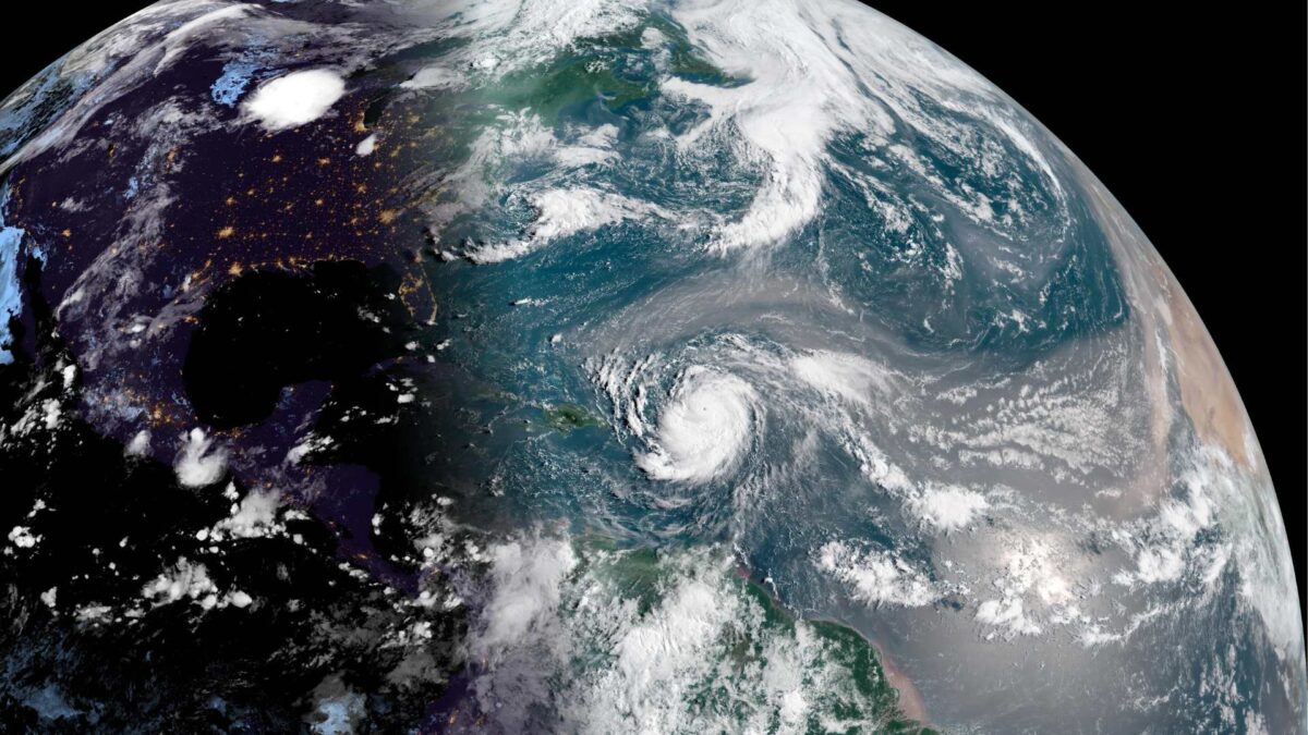
According to the US National Hurricane Center, Erin has rapidly strengthened into a Category 3 hurricane, with maximum sustained winds of about 105 knots.
Satellite imagery shows a compact system with a well-defined eye and strong convection bands affecting parts of the northern Leeward Islands. The storm is forecast to intensify further into a Category 4 hurricane in the short term before gradually weakening next week as wind shear increases.
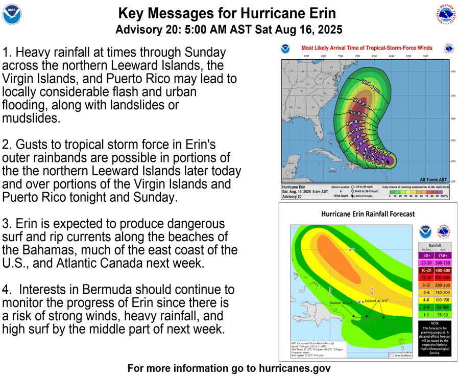
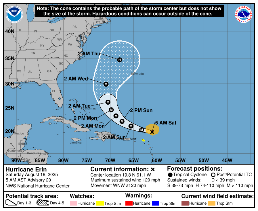
According to NOAA, “Although Erin is a somewhat compact hurricane now, the models are in strong agreement that the system will grow in size over the next several days. In fact, by the middle of next week, Erin is forecast to at least double or triple in size, which will result in rough ocean conditions over the western Atlantic.”
Share this WeathÉire story:

