 in Irish Weather History 1")


Forecasters warn of rising storm risk in Atlantic
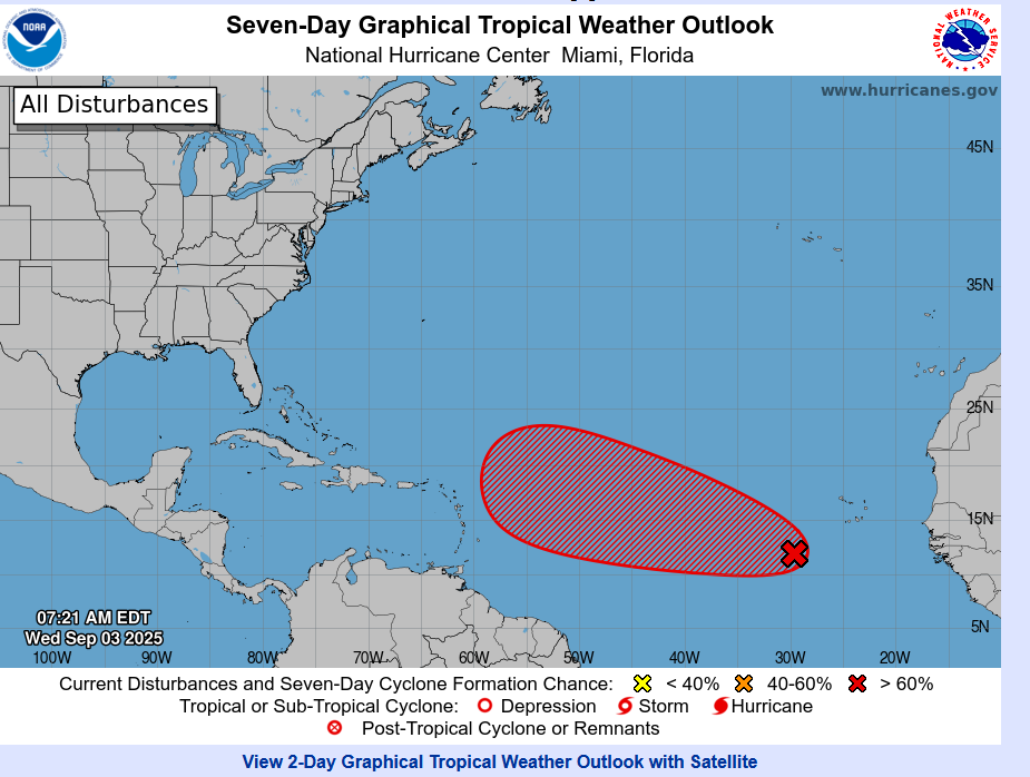
The US National Hurricane Center (NHC) has said a tropical depression is likely to develop in the eastern Atlantic later this week as forecasters warn of an expected increase in activity during the peak of the hurricane season.
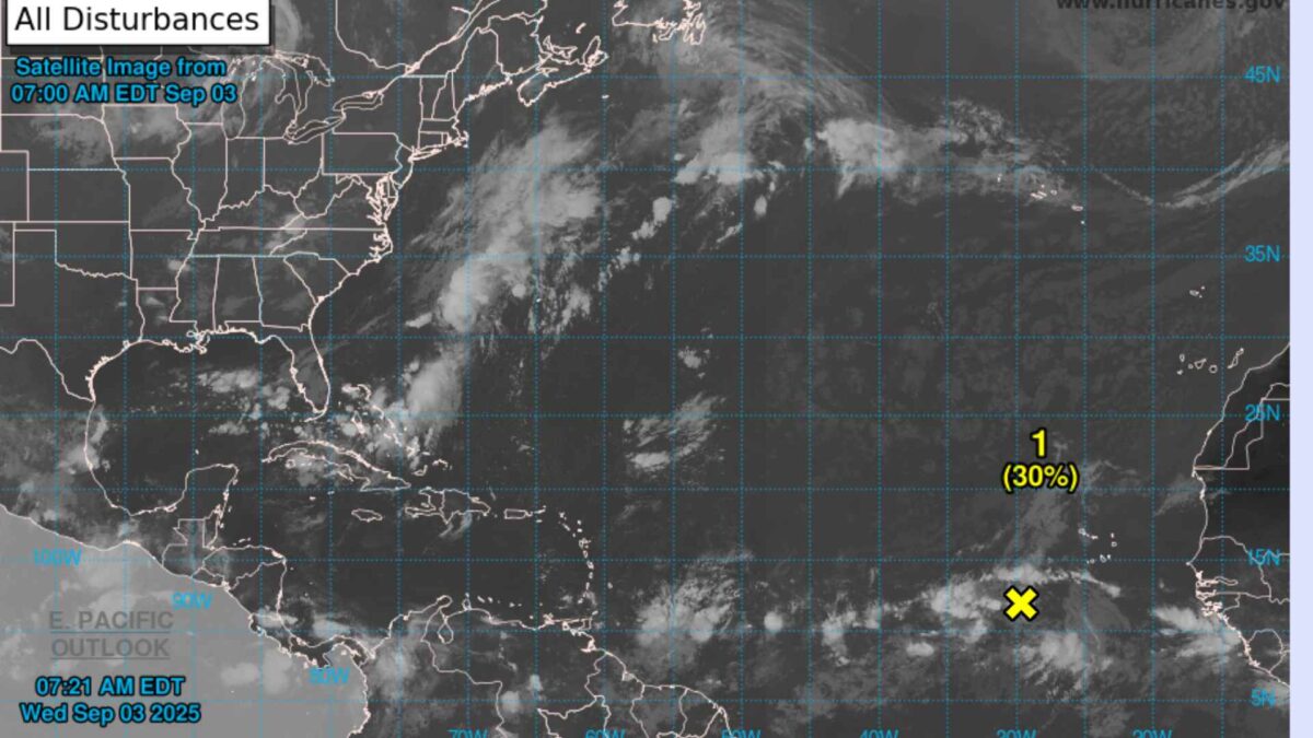
A tropical wave located several hundred miles west-southwest of the Cabo Verde Islands is producing disorganised showers and thunderstorms. Meteorologists say conditions are favourable for gradual development and the system has a 70 per cent chance of becoming a tropical depression within the next seven days. It is expected to track west to west-northwest at about 15 miles per hour across the Atlantic.
The 2025 Atlantic hurricane season has so far been unusually quiet. By September 1, six named storms had formed, compared with the average of around 14 by this point. Experts have attributed the slowdown to high wind shear and dry air in the Caribbean and parts of the Atlantic that have limited storm formation.
The season’s first hurricane, Erin, rapidly strengthened into a Category 5 system in mid-August before weakening offshore. Although it did not make landfall, the storm generated dangerous rip currents along the US east coast, leading to at least two deaths and one person missing. Its remnants later unsettled weather patterns across the North Atlantic, influencing conditions in Britain and Ireland.
A second system, Tropical Storm Fernand, developed on August 24 but quickly weakened and posed no threat to land.
With the season now entering its most active phase, the National Oceanic and Atmospheric Administration (NOAA) continues to forecast between 13 and 18 named storms before the season closes at the end of November. Up to nine could reach hurricane strength, with as many as five potentially developing into major hurricanes.
Share this WeathÉire story:

