 in Irish Weather History 1")


Atlantic Wakes Up: Three Storms Now on NHC Watch
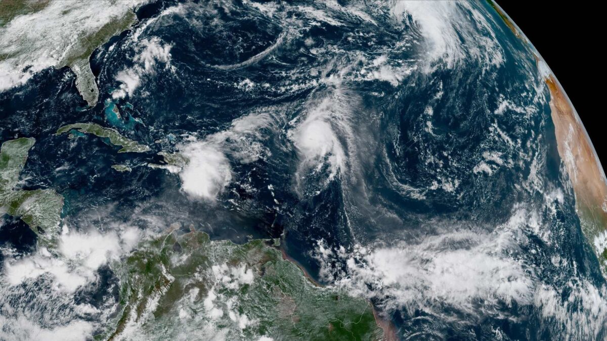
After a quiet start to the 2025 hurricane season, the Atlantic is waking up. The National Hurricane Center is now tracking three systems, including Tropical Storm Humberto, a developing Caribbean disturbance, and Hurricane Gabrielle approaching the Azores.
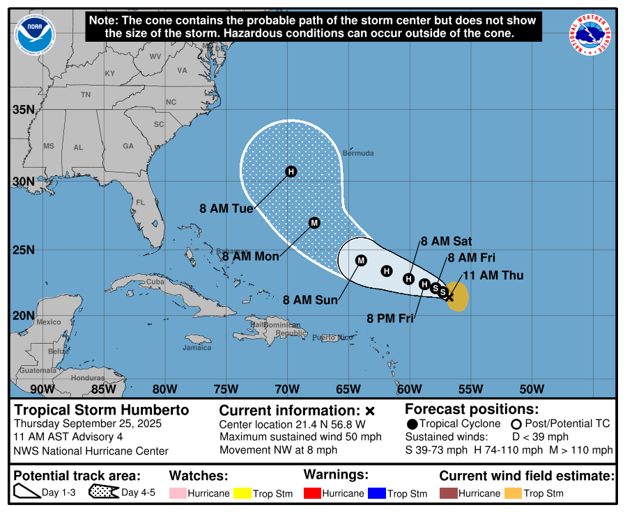
Tropical Storm Humberto is intensifying in the central Atlantic, about 465 miles east-northeast of the northern Leeward Islands. Maximum sustained winds have reached 50 mph, and forecasters say it could become a hurricane within a day, with major hurricane strength possible this weekend. Humberto is moving northwest at around 8 mph, with tropical-storm-force winds extending up to 105 miles from its center. No coastal watches or warnings are in effect.
In the central Caribbean, a tropical wave is producing showers, thunderstorms, and gusty winds over the Dominican Republic and the Turks and Caicos Islands. A low-pressure system is expected to form near the southeast Bahamas and could develop into a tropical depression over the central or northwest Bahamas in the next few days. Heavy rain and gusty winds are likely, with formation chances rated at 70% over 48 hours and 90% over seven days.
Meanwhile, Hurricane Gabrielle is set to hit the Azores tonight, bringing hurricane conditions, storm surges, large waves, and heavy rain. As of 3pm GMT, Gabrielle was located about 732 km west of the islands, moving east at 52 km/h. Maximum sustained winds are 120 km/h, with hurricane-force winds extending 48 km and tropical-storm-force winds up to 298 km. Central islands could see 75–125 mm of rain, with flash flooding possible in mountainous areas, while western and eastern islands may see 25–75 mm. Coastal flooding, dangerous surf, and large waves are expected.
Ireland will remain mainly dry and mild through Thursday and Friday. Rain will move in from the west late Friday into Saturday before clearing, followed by a mix of sunny spells and scattered showers early next week. Conditions will stay drier in the south and east.


