Atlantic Lows Set to Break Ireland’s Dry Spell

A 12-day stretch of dry weather will come to an end this weekend as Atlantic low-pressure systems move in over Ireland.
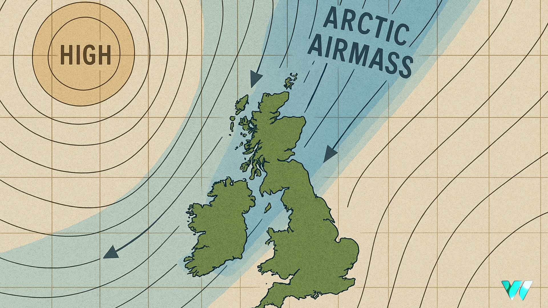
High pressure has kept conditions largely dry since midweek last week, apart from some isolated patches of mist and drizzle. However, it has also led to an exceptionally overcast spell. Malin Head in Donegal, for example, recorded just one hour of sunshine over the past seven days.
The high will gradually weaken on Friday and into early Saturday as an Atlantic rain front pushes into the west on Saturday afternoon. The eastern half of the country is likely to remain dry during daylight hours, but rain will become more widespread on Saturday night and through Sunday, with some thundery downpours possible in places.
The outlook for next week is largely unsettled, with further bands of rain moving across the country from the west. There will be dry spells in between these systems. Rainfall totals will be around average for the time of year.
The Global Ensemble Forecast System (GEFS), which runs 21 simulations to account for uncertainty in atmospheric conditions, shows strong agreement for a return to more widespread unsettled weather. The ensemble average, represented by the red line on forecast charts, indicates a clear shift from dry to unsettled conditions beginning this weekend.

With more than half of Ireland’s synoptic weather stations already recording up to two-thirds of their average monthly rainfall totals in the first five days of October, it is almost certain that overall rainfall by month’s end will finish above the Long-Term Average (LTA).
Share this WeathÉire story:


