 in Irish Weather History 1")


Southern Britain hit with weather warnings as Storm Benjamin is named
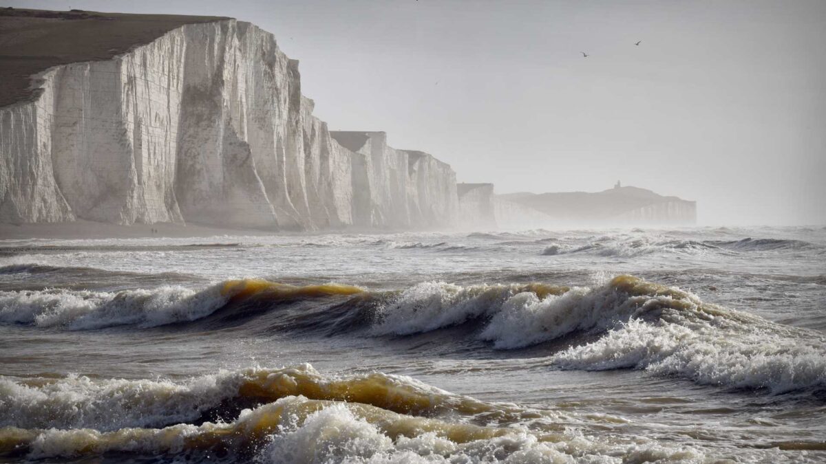
The UK Met Office has issued Yellow National Severe Weather Warnings for Thursday as a low-pressure system crosses southern parts of the UK.
After a brief period of sunny spells, conditions will deteriorate from Wednesday evening as the system moves in from the southwest. Heavy rain and strong winds are expected, with warnings highlighting the risk of travel disruption, coastal impacts and localised flooding.
Deputy Chief Meteorologist Dan Harris said low pressure moving across the south on Thursday would bring both heavy rain and strong winds.
The system has been named Storm Benjamin by Meteo France.
Rain will arrive from the southwest on Wednesday evening before spreading northeast across England and Wales during Thursday, creating difficult driving conditions and a risk of flooding. Winds will pick up along southern coastal areas with northwesterly gusts of 45 to 55 mph, locally reaching 65 mph. Northerly winds will develop across eastern areas later, with a small chance of gusts exceeding 70 mph if the system strengthens.
Harris warned there was greater than usual uncertainty over the track and intensity of the system and urged the public to follow the latest forecasts and warnings.
Away from the warning areas, Thursday will be wet and windy across England and Wales, with occasional sunny spells and blustery showers. Temperatures will be near normal but feel colder in the northwesterly winds.
Friday is expected to bring sunny spells with heavy blustery showers gradually easing later in the day. Winds will remain strong with coastal gales likely in eastern and northeastern areas.
The weekend will turn colder as an Arctic maritime airmass moves south, bringing a mix of sunshine and blustery showers, with wintry conditions over higher ground in Scotland. Sunday may offer a brief spell of drier and brighter weather.
Meanwhile, a secondary area of low pressure will bring strong winds and heavy rain to Ireland over the next 48 hours. It will remain drier and calmer further east however.


