Hints of Drier Second Half of November

The final days of October and the first week of November are set to remain changeable across the UK with the UK Met Office forecasting a continuation of unsettled conditions driven by Atlantic low pressure systems.
Showers and longer spells of rain are expected to affect most regions during this period. Western areas are likely to see the heaviest rainfall while strong winds are also possible at times with a risk of gales in exposed locations.
The Met Office notes that there will be brief intervals of drier and brighter weather between weather systems, although these are unlikely to last for long. Any clearer spells may allow overnight fog to form along with the possibility of frost where skies stay clear. Temperatures are expected to remain close to or slightly above the seasonal average for late October and early November.
The unsettled pattern is likely to persist during the early part of November with further rain and showers for many areas. Winds could strengthen again at times but temperatures are forecast to stay near typical values for the time of year.
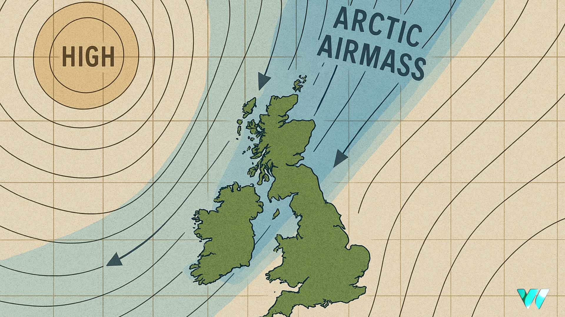
Towards the second half of November the Met Office indicates an increased likelihood of more settled conditions developing. High pressure may begin to take hold, leading to drier and more stable weather across much of the UK. Overnight fog and frost would become more common under this pattern, particularly inland. Any wetter spells during this period are most likely to affect northern parts of the country where Atlantic systems may still influence conditions.
The Met Office cautions that confidence in longer range forecasts remains limited but the broad trend suggests a gradual easing of unsettled weather as November progresses.
Share this WeathÉire story:


