Tipperary soaks up highest rainfall

Met Éireann has reported that the past week was significantly wetter than normal across most of the country, with rainfall totals reaching between one and a half and four times the seasonal average.
The highest total was recorded in Gurteen, Co Tipperary, where 87.1 mm fell, equivalent to 407 per cent of the station’s usual level. Dublin Airport had the lowest amount with 37.9 mm, which was still more than double its average.
The coming week will begin unsettled as further bands of rain move north from Friday into Saturday. The northwest will stay comparatively dry and conditions are expected to improve more widely through the weekend and into early next week. Midweek is likely to bring a return to more mixed weather. Rainfall totals will differ sharply by region. Parts of the southwest are forecast to receive well below average amounts, close to 40 per cent of normal values, while some eastern counties can expect higher than average totals.
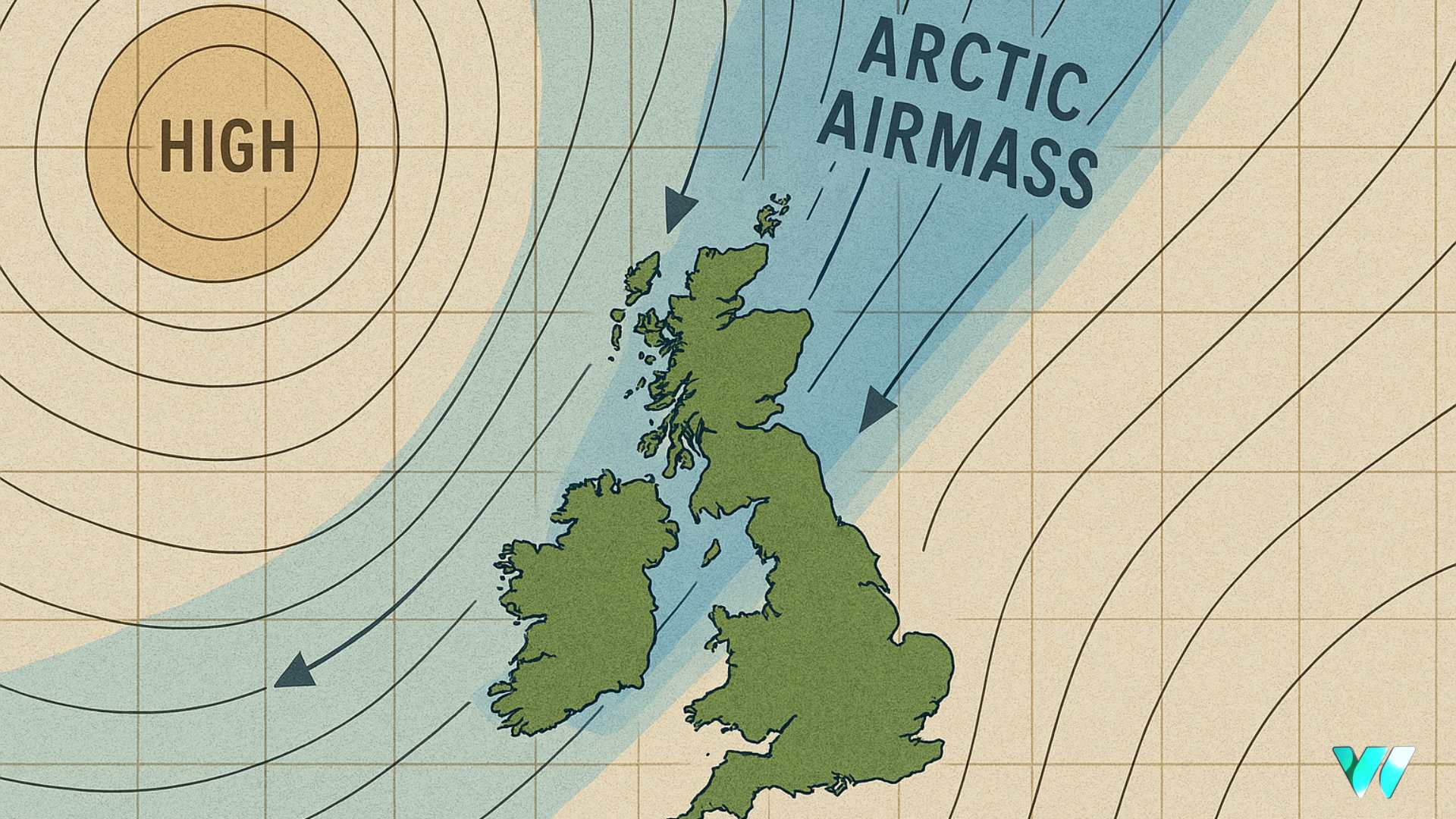
Air temperatures over the past week ranged from 0.7 to 3 degrees above normal. Mean temperatures were lowest at Ireland West Airport, Knock, Co Mayo at 7.8 degrees Celsius and highest at Johnstown Castle, Co Wexford at 11.5 degrees. Soil temperatures were also higher than usual, between 9.8 and 11.7 degrees, which is about 2 to 4 degrees above average. Temperatures will fall gradually in the week ahead, turning colder over the weekend. Mean air temperatures are expected to range from 4 to 10 degrees, up to 2 degrees below the norm for mid November.
Sunshine levels varied across the country. Most areas experienced close to average amounts, although parts of the south and southeast were duller. Johnstown Castle, Co Wexford recorded just 10.9 hours, or 65 per cent of normal values. Shannon Airport, Co Clare received the most sunshine with 18.4 hours, which is 124 per cent of its average.
Drying conditions are set to remain poor for the next few days, with some improvement expected from Sunday. Lower temperatures, generally below 10 degrees, will limit drying to at best moderate levels. Spraying conditions will also be restricted, although some brief opportunities may open from Sunday onwards.
Soil moisture levels remain high following the recent spell of heavy rain. Moderately and poorly drained soils are waterlogged and surface ponding is reported on heavier ground. Well drained soils are saturated. While more heavy rain is expected in the coming days, a slight improvement is forecast by the end of next week as conditions become less unsettled.
Share this WeathÉire story:


