 in Irish Weather History 1")


Canadian Wildfire Smoke Reaches Ireland and Britain
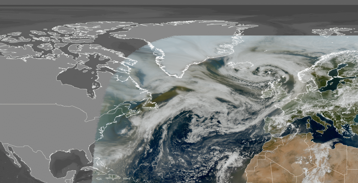
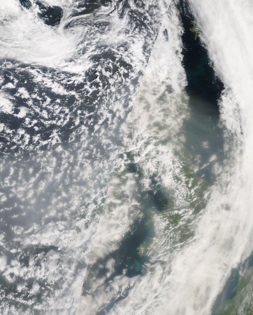
Satellite imagery captured this afternoon shows smoke from ongoing wildfires in Canada drifting across the Atlantic and reaching Ireland and Britain.
Satellite imagery from EUMETSAT and NASA MODIS indicate that the smoke originates from wildfires in Manitoba, Saskatchewan, and Ontario, and has spread as far as northwest Europe.
According to the Copernicus Atmosphere Monitoring Service (CAMS), wildfires in Saskatchewan typically begin in April and May. However, this year’s fires have been intensified by moderate drought and strong winds in mid-May. Similar conditions—hot, dry, and windy—have fueled fires along the Ontario–Manitoba border.
Over 200 wildfires are actively burning across multiple provinces, with more than 100 of these fires classified as “out of control”.
The blazes have already scorched approximately 1.4 million hectares (3.5 million acres) of land nationwide.
So far, over 25,000 people have been forced to evacuate due to the fires. The resulting smoke has significantly impacted air quality locally, across the United States, and now in parts of Europe.
CAMS’ Global Fire Assimilation System (GFAS), which uses satellite-based fire radiative power (FRP) to estimate emissions, reports that Canada has released approximately 56 megatonnes of carbon from wildfires this year up to 2 June—second only to the record-breaking levels of 2023.
The wildfires have also impacted Canada’s oil production. In Alberta, over 344,000 barrels per day—about 7% of the country’s total crude output—have been disrupted, affecting major operators like Canadian Natural Resources and Cenovus Energy.
Share this WeathÉire story:

