Unsettled Skies Expected Across Ireland for Weeks Ahead

Met Éireann’s latest extended outlook indicates a predominantly unsettled pattern for Ireland in the weeks ahead, with above-average rainfall and cooler than normal temperatures expected at the start of September.
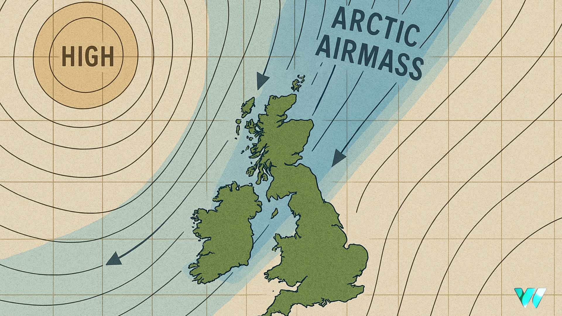
From Monday 8 September to Sunday 14 September, low pressure will dominate, bringing unsettled conditions from the Atlantic. Rainfall is likely to be above average, particularly in the west, northwest, and southwest, while mean air temperatures are forecast to remain below normal for the time of year.
Confidence in the period from 15 to 21 September is lower, but there is a slight signal for low pressure to continue, gradually shifting northeastwards, while high pressure may begin to build to the south. Temperatures are expected to remain cooler than average, with rainfall again slightly above normal. Forecasts for the week of 22 to 28 September are increasingly uncertain, with no clear signal for dominant high or low pressure. Rainfall is likely to be slightly above average, while temperatures are expected to be close to seasonal norms.
The outlook for 29 September to 5 October remains low in confidence. Low pressure is slightly favoured, temperatures are likely to be near average, and rainfall is expected to remain above average across most areas.
Seasonal Outlook
Looking further ahead to the September, October, November period, seasonal models indicate above-average temperatures across Ireland, with mean temperatures expected to be 0.5 to 1.0°C higher than normal. Met Éireann says rainfall is less certain, with periods of both wet and dry conditions, although October may see drier spells at times. Sea surface temperatures around Irish coasts are also expected to be above average during the autumn, ranging from 0.5 to 2.0°C higher than normal.
Background to Extended Outlook
Met Éireann’s extended forecasts use data from the European Centre for Medium Range Weather Forecasts (ECMWF), which produces a 51-member ensemble of 46-day coupled ocean-atmosphere simulations. These forecasts are updated twice weekly, with data available to Met Éireann meteorologists on Tuesday and Friday mornings.
The weekly forecast charts show anomalies, comparing the ensemble mean of the forecast with historical climatology to highlight shifts from typical conditions. Meteorologists analyse these data throughout the week, updating the extended range outlook on Tuesday and Friday evenings.
Share this WeathÉire story:


