 in Irish Weather History 1")


Cold air mass strengthens over Arctic, Ice extent greater than 2009-18
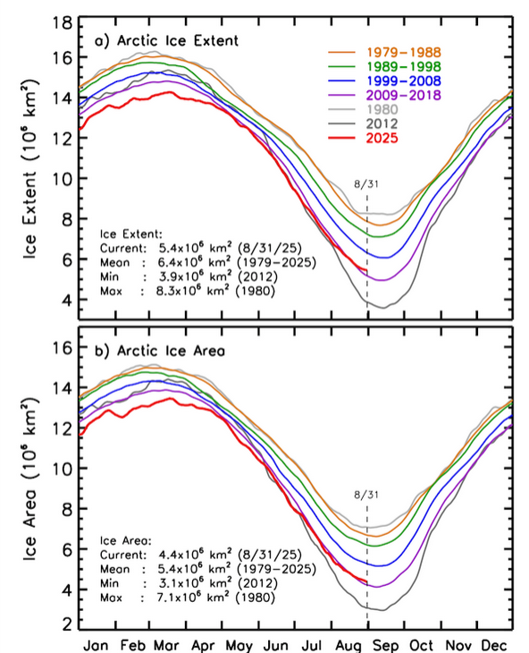
A build-up of cold air is underway across the Arctic as the seasonal transition to autumn accelerates, with current Ice Extent and Area above 2009 to 2018 levels.
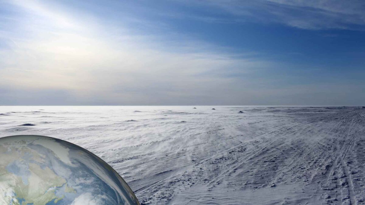
Early September typically marks the beginning of a rapid cooling phase in the far north, driven by the sharp decline in incoming solar radiation. As the Arctic tilts away from the sun, daylight hours shorten quickly and the onset of polar night begins in the high latitudes, leaving large areas without direct sunlight for weeks.
This lack of solar heating is already evident in GFS charts, which show extensive areas of sub-zero air consolidating over Siberia and the central Arctic Ocean. The models indicate that the cooling trend will deepen in the coming weeks, laying the foundations of the polar air mass that dominates the northern hemisphere winter.
The surface cooling process is accelerated by newly formed sea ice and fresh snow cover, both of which reflect most of the weak sunlight back into space. The overlying air is extremely dry and cloud-free, allowing heat to escape rapidly. As this air cools it becomes heavier and denser, pooling across the polar basin.
Arctic Ice Extent and Area is currently above the 2009-2018 average and well above the record lows of 2012.
The strengthening cold pool in turn reinforces the polar vortex, a high-altitude circulation of low pressure and strong winds that acts as a containment system for Arctic air. The vortex helps keep frigid conditions locked near the pole through much of the autumn and early winter, though disturbances can occasionally send outbreaks of bitter cold into mid-latitude regions.
Share this WeathÉire story:

