 in Irish Weather History 1")


Hurricane Imelda poses no threat to Ireland and northwest Europe
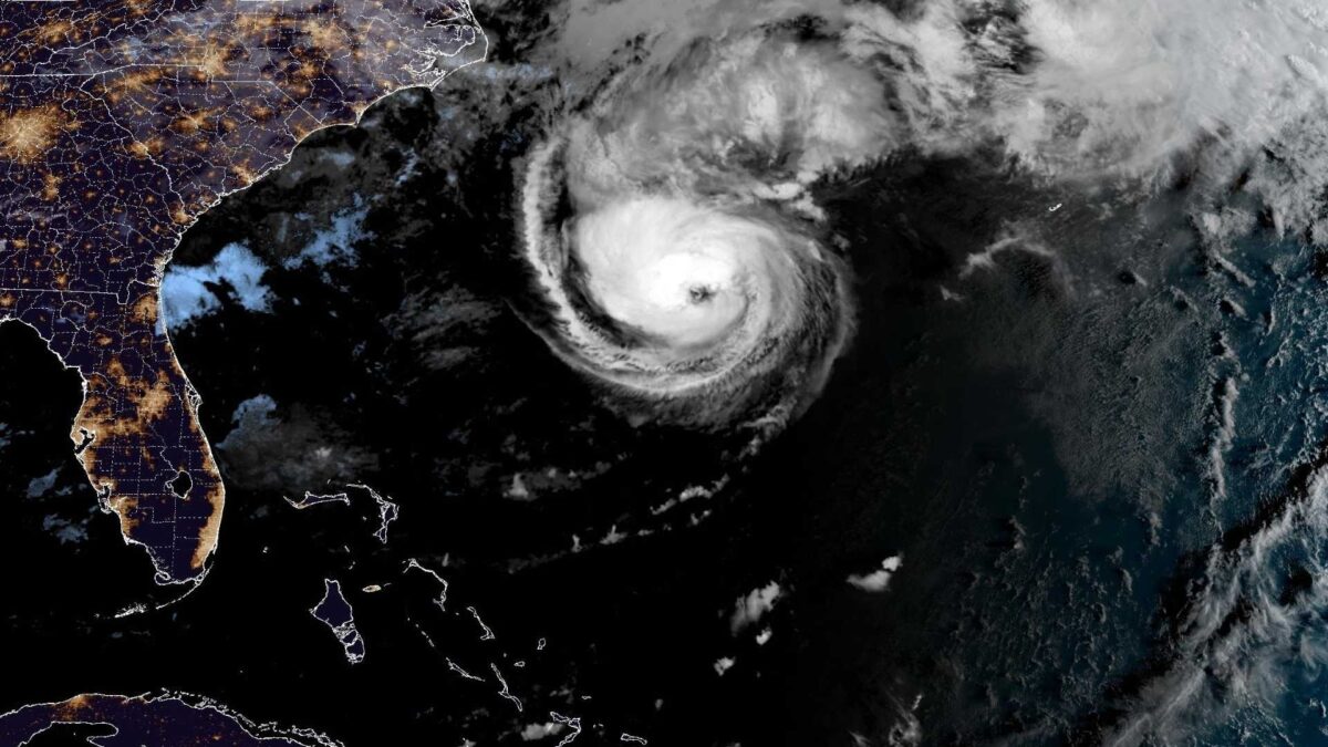
Hurricane Imelda is forecast to bring hurricane-force winds, large waves and flash flooding to Bermuda later today, according to the US National Hurricane Center (NHC).
At 10am Irish time, Imelda was centred around 730km west-southwest of the island, moving east-northeast at 31km/h. Maximum sustained winds have increased to 90mph (150km/h), making it a Category 1 hurricane, with further strengthening expected before it passes close to Bermuda this evening, potentially reaching Category 2 intensity.
A Hurricane Warning remains in effect for the island, with residents urged to complete preparations to protect life and property. Hurricane conditions are expected this evening, following tropical storm-force winds earlier in the day. Rainfall totals of 2 to 4 inches (50–100mm) could lead to flash flooding, while a dangerous storm surge may cause coastal flooding in areas of onshore winds, accompanied by large and damaging waves.
Unlike the remnants of Hurricane Humberto, Hurricane Imelda is not expected to track northeast towards Ireland. The storm is forecast to accelerate northeastward after passing Bermuda and transition into an extratropical system in the coming days.
Swells generated by both Imelda and Hurricane Humberto are already affecting Bermuda, the Bahamas, and much of the US east coast, creating life-threatening surf and rip current conditions, the NHC warned.
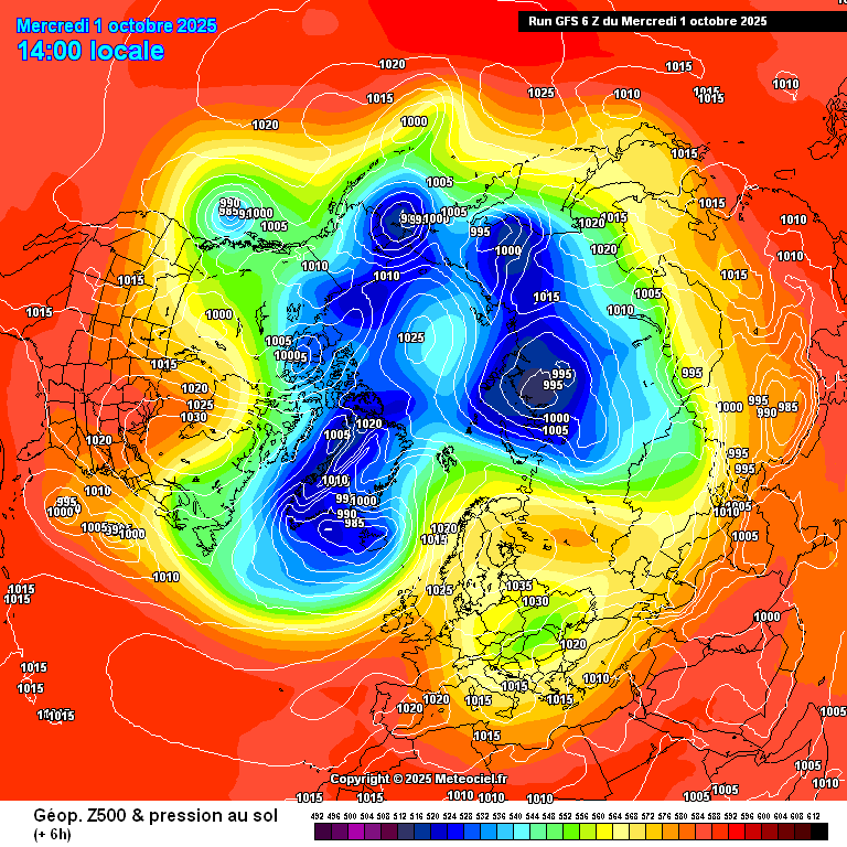
Meanwhile, the remnants of Hurricane Humberto will undergo rapid deepening through Thursday night and Friday before passing to the north of Ireland toward northwest Scotland. The system has been named as Storm Amy.
Share this WeathÉire story:

