 in Irish Weather History 1")


Met Éireann issues raft of alerts as wet and windy spell returns
Met Éireann has issued a series of Status Yellow warnings for rain and wind.
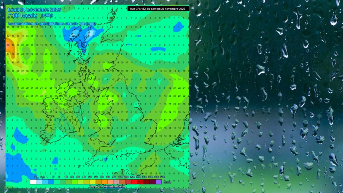
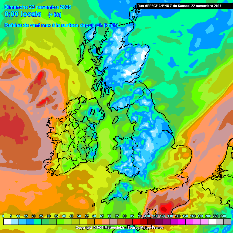
During Sunday, wind gusts will exceed 100 km/h in parts of the northwest where more than 20 to 25 millimetres of rain are expected.
Following a relatively dry spell since last weekend, Atlantic systems have returned, driven by a west to south airflow.
A rain warning is in place for Donegal, Leitrim, Mayo and Sligo until 9pm on Sunday. Heavy or thundery rain is expected to turn showery, with the chance of hail. Local flooding is possible and travel may be difficult.
A wind warning for Clare, Galway, Leitrim, Mayo and Sligo runs until 2pm on Sunday. West to northwest winds will be very strong and gusty, with a risk of fallen branches, loose debris and hazardous driving.
Wicklow is under a further wind warning on Sunday from 10am to 5pm, with strong gusts expected and a continued risk of debris and difficult travel.
Marine warnings remain in effect. A Small Craft Warning for all Irish coasts is active until midnight on Monday as southerly winds, shifting westerly or cyclonic variable, are expected to reach force 6 or higher.
A gale warning from Valentia to Erris Head to Malin Head is in place until 5pm on Sunday, with westerly winds forecast to reach gale force 8 or strong gale force 9.
Another gale warning applies from Belfast Lough to Dungarvan to Rossan Point and across the Irish Sea from 5pm on Sunday until 8am on Monday. West to northwest winds are expected to reach similar strengths.
A further Small Craft Warning for all coasts runs from midnight on Monday until midnight on Tuesday, with northerly winds expected to reach force 6 or higher.
Share this WeathÉire story:

