


Cloud Builds in the West as Storm Floris Approaches

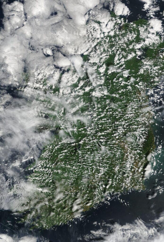
A NASA MODIS satellite image captured at midday today shows increasing cloud cover across western parts of Ireland as Storm Floris approaches from the Atlantic.
Rain is expected to arrive in the west later this evening, with conditions deteriorating overnight as the storm moves inland.
The most severe impacts of Storm Floris will have passed by midday on Monday, though blustery conditions will persist throughout the day.
Sunny spells are forecast to develop in all areas during the afternoon, offering some improvement to what will otherwise be a stormy start to the August Bank Holiday.
Conditions will gradually improve from Tuesday, with drier and brighter weather returning for midweek. While patchy rain and drizzle may linger in the west and northwest at times, much of the country will experience mild temperatures and occasional sunny spells.
The outlook for the weekend remains unsettled, with a mix of cloud, drizzle, and brighter intervals, particularly in the south and east.


