Satellite captures mixed skies as unsettled weather continues

Friday’s weather brought a mix of clear spells and scattered showers, continuing the unsettled pattern that has taken hold in recent days.
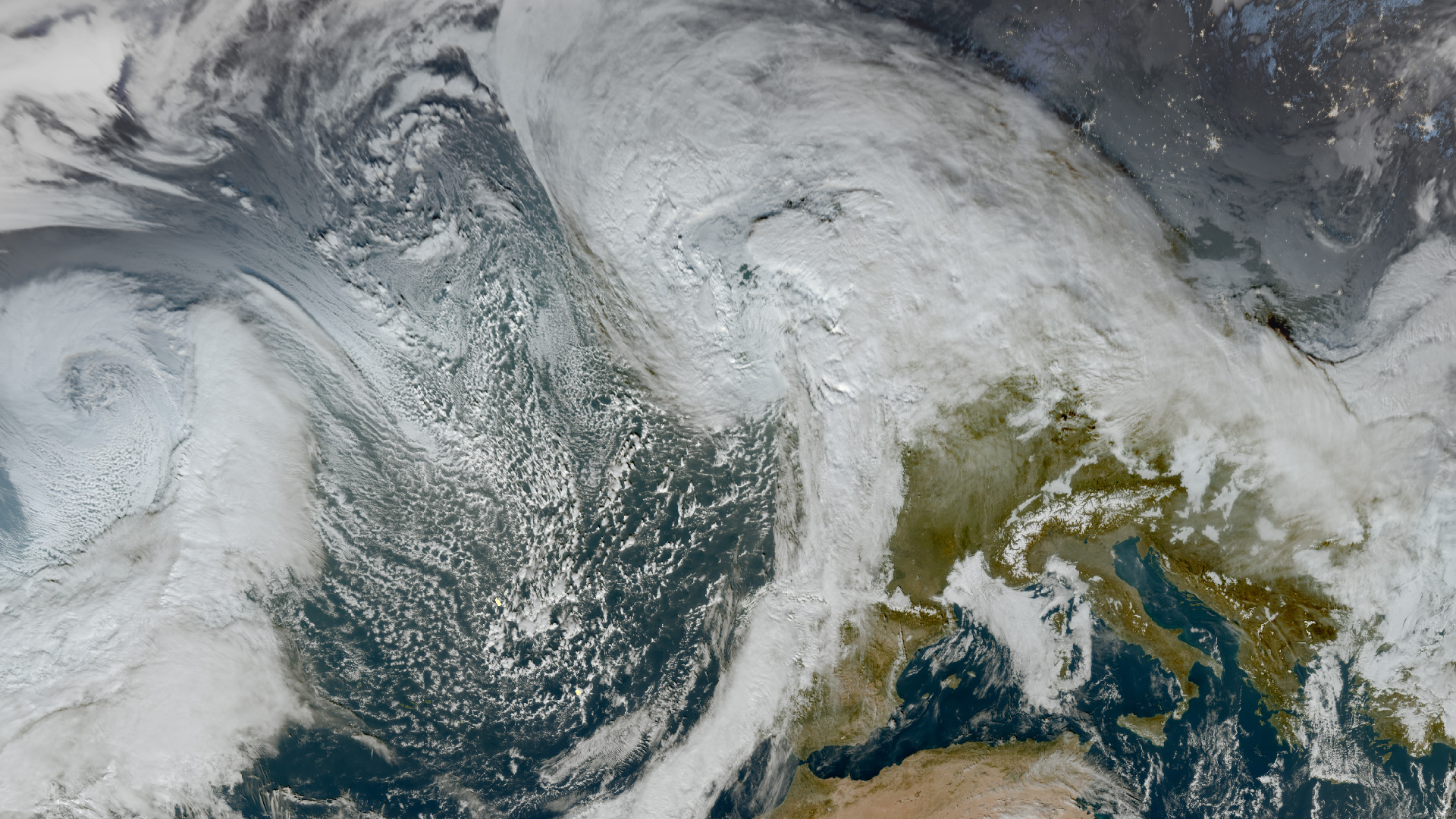
The remnants of Hurricane Erin, which became anchored to the northwest of Ireland last Monday, have been feeding bands of showers and longer spells of rain across the country. The recent shift follows what had been a notably dry and warmer than average August up to this point.
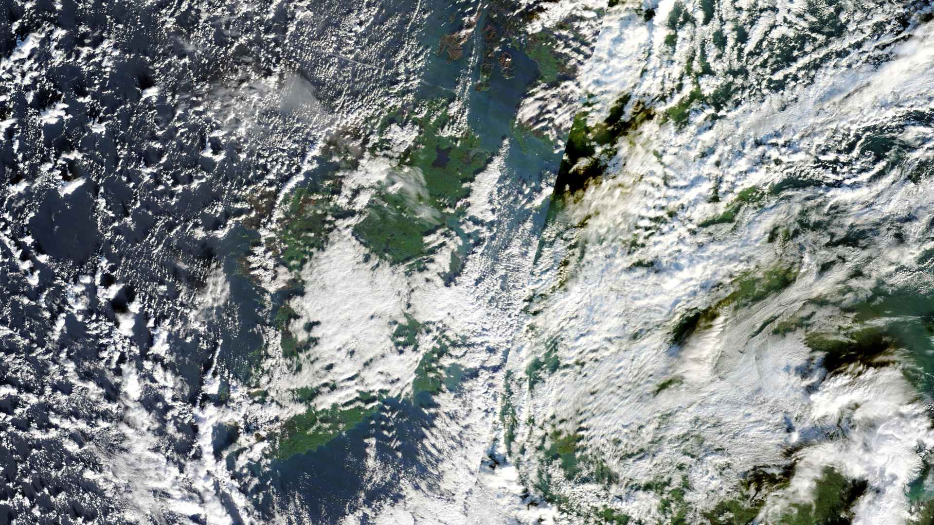
Satellite imagery from the European Space Agency’s Copernicus Sentinel-2A, which passed over Ireland shortly before midday on Friday, captured a mixed picture of the island, with scattered cloud and some sunny breaks visible. Closer views highlighted conditions over Ballyshannon in Donegal, Kilmallock in Limerick, Kinsale in Cork, Enniskillen in Fermanagh, Arklow in Wicklow and Kilkenny City.


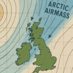
Looking ahead, the mobile Atlantic regime is set to continue. Low pressure systems will bring frequent rain, fresh winds and below average temperatures into next week. Rainfall is expected to remain above average through the second week of September.


