 in Irish Weather History 1")


Satellite Captures All Kinds of Everything Over Ireland

A variety of cloud types and sharply contrasting weather conditions were visible from space when the Copernicus Sentinel-2A satellite passed over Ireland on Friday afternoon.
Heavy rain and overcast conditions along the east coast were visible, with clearer skies spreading into the southwest.
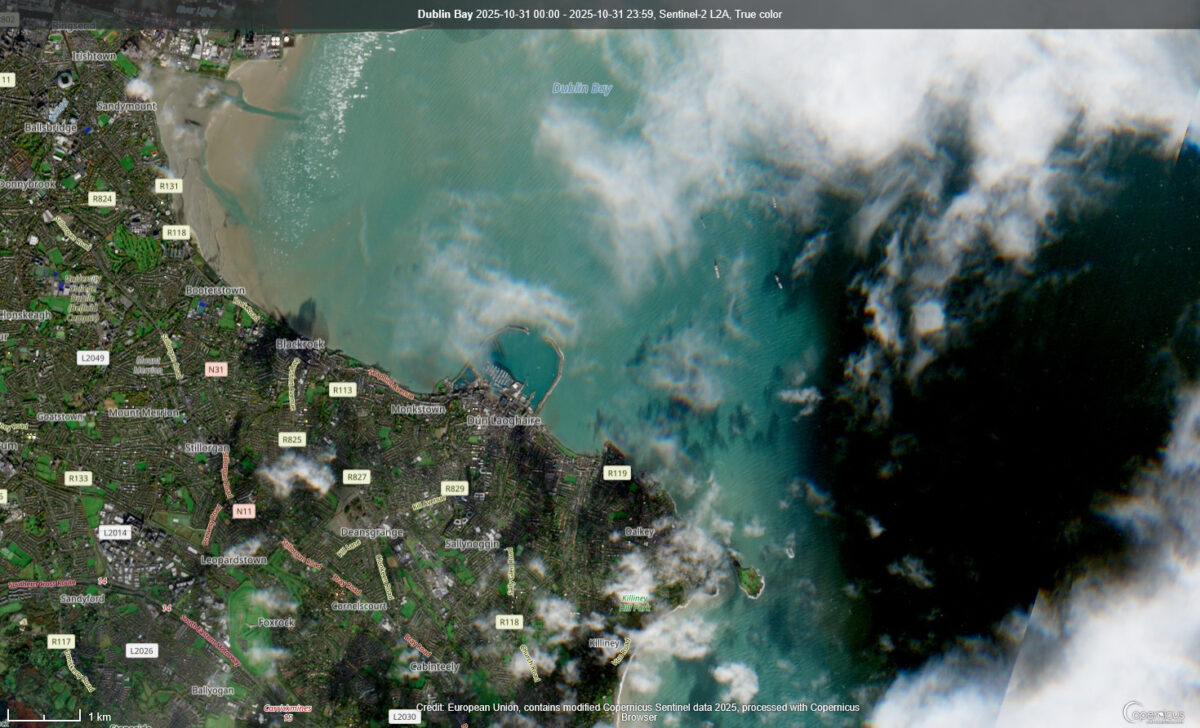
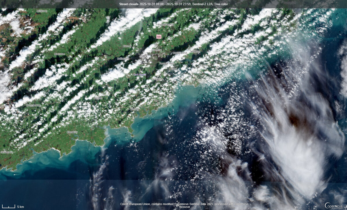
A close-up view of Dublin Bay showed shipping emerging from shadows cast on the Irish Sea by a bank of clouds. Along the south coast, long, parallel rows of cumulus clouds could be seen stretching from southwest to northeast in County Cork. These street clouds form when cooler air moves over a warmer surface.
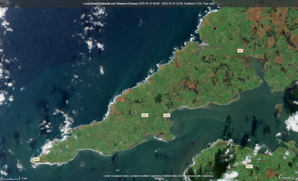
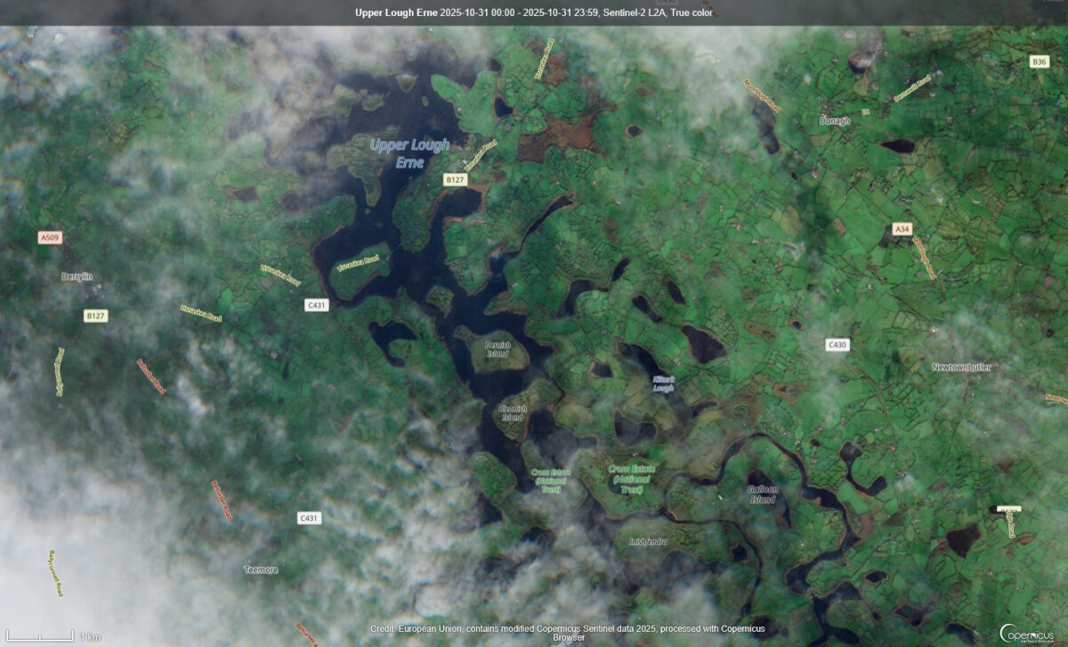
In County Clare, clear skies revealed the Loop Head Peninsula extending into the Atlantic Ocean. Further inland, Upper Lough Erne in Fermanagh became visible as clouds dispersed.
The Copernicus Sentinel-2A, launched in 2015 under the EU’s Copernicus programme, is a high-resolution Earth observation satellite. It monitors land surfaces including vegetation, soil, and water, and supports agriculture, forestry, and disaster management using a multispectral instrument with 13 spectral bands.
Share this WeathÉire story:

