 in Irish Weather History 1")


Shallow earthquake recorded in The Celtic Sea
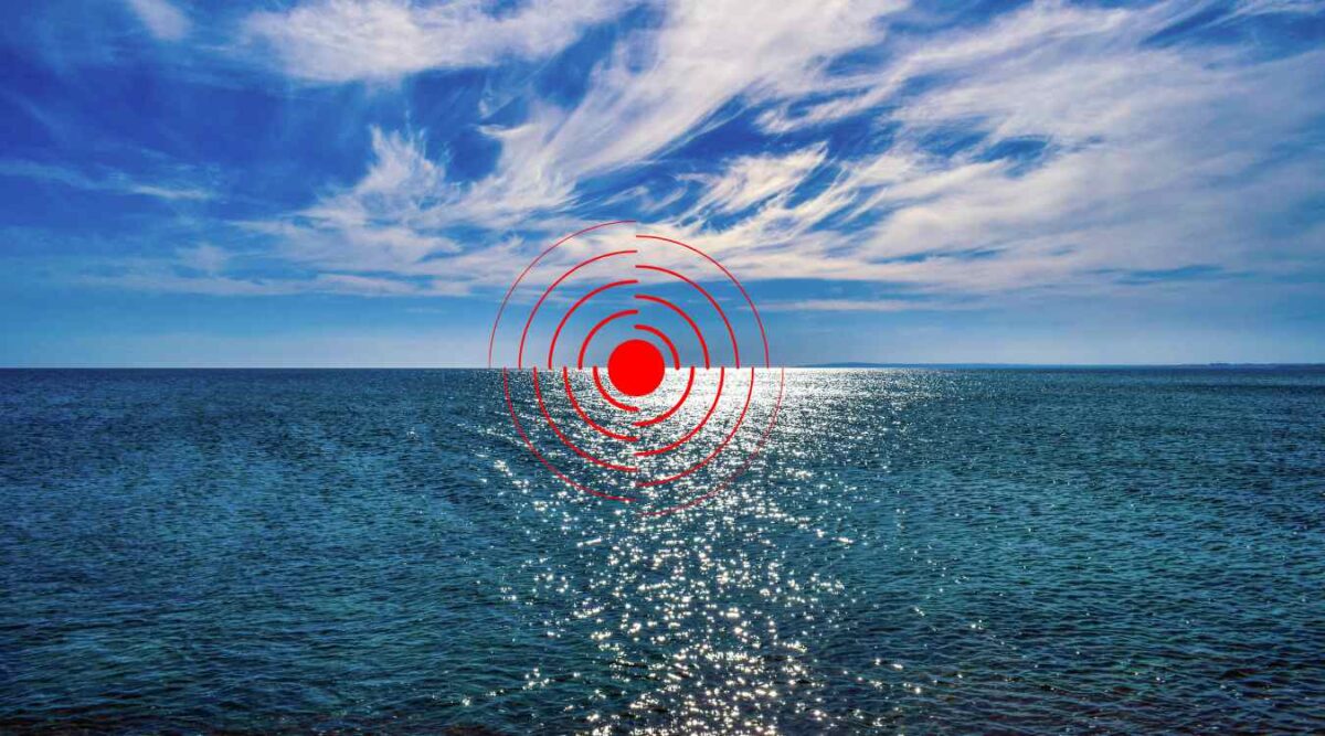
A shallow undersea earthquake was recorded in The Celtic Sea, southeast of County Wexford on Wednesday morning.
The British Geological Survey (BGS) says the magnitude 1.4 quake struck at 4.19 am at a depth of 3 kilometres (km), approximately 25 km west of Skomer Island in Wales and 95 kilometres southeast of Rosslare in County Wexford.
Earthquakes regularly occur in the Irish Sea, the most recent of which was a magnitude 0.7, occurring on February 7 of this year.
The largest magnitude event recorded in the Irish Sea in recent times was the M2.5 earthquake, occurring on the December 15, 2019.
A 5.4 magnitude earthquake of July 1984 was the largest ever recorded earthquake on mainland Britain, the Llŷn Peninsula in North Wales to be precise.
It was felt throughout Ireland’s east coast, as well as in Wales and England.
It released approximately 1.25 petajoules of energy compared to just 4.4 million joules released separately by Wednesday morning’s quake.


