 in Irish Weather History 1")


Sea Temperatures Around Ireland Spike Up to 2°C Above Normal
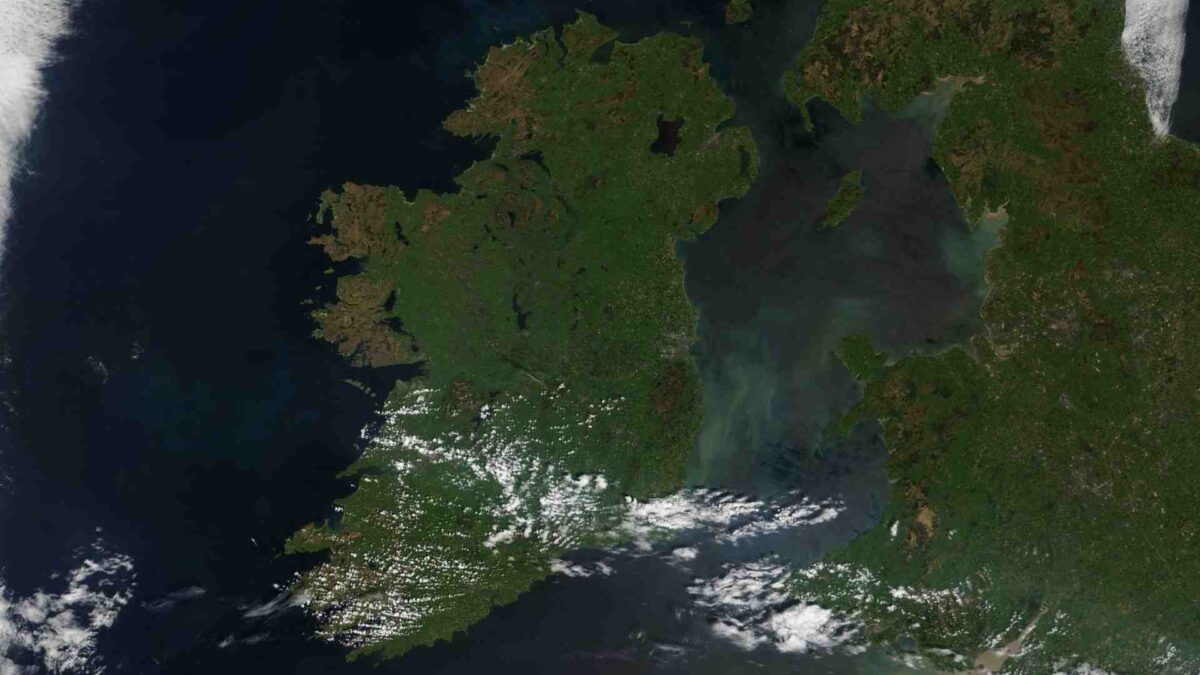
The waters around Ireland are warming up much more than usual for this time of year, according to new data from the Marine Institute and Met Éireann.
In some places, sea surface temperatures (SSTs) are running between 0.6 and 2.2 degrees Celsius above the average for May.
The warmer waters are especially noticeable along the west and south coasts. Observations from the Irish Marine Data Buoy Observation Network (IMDBON) show a steady rise in temperatures throughout May, driven largely by a persistent area of high pressure that has dominated weather over northwest Europe this spring.
“This pattern has brought clear skies, lots of sunshine, and unusually light easterly winds,” explained Met Éireann climatologist Paul Moore. “These easterly winds are carrying warm air from land out to sea and limiting mixing with cooler water below—essentially allowing the ocean’s surface to heat up faster.”
Marine Heatwaves
Globally, marine heatwaves are being reported in several regions, but the warming off Ireland’s west coast is particularly striking.
Conditions here have remained stable and stationary—unlike other parts of the Atlantic—making the temperature spike more pronounced locally.
The buoy data paints a clear picture: temperatures at several offshore stations were already more than 1°C above average by mid-May. With several days left in the month, that gap could grow even larger.

April 2025 already saw record-breaking sea temperatures at three out of five buoy locations:
- M4 reached 11.32°C (beating the 2011 record of 10.74°C),
- M2 hit 9.69°C (surpassing last year’s 9.65°C),
- M3 climbed to 11.99°C (just ahead of its 2007 record of 11.91°C).
If trends continue, M3 could also set a new record for May.

Warmer sea temperatures don’t just affect ocean life—they can influence our weather too. Similar conditions were observed in spring 2023, ahead of Ireland’s hottest June on record. Scientists say marine heatwaves can reduce cloud cover over the sea and increase the chance of heavy rainfall on land, especially as warmer seas send more moisture into the air.
And while this spring has mostly been dry due to high pressure, that could change. A shift in the weather is expected in the coming days, with cooler, stronger westerly winds from the Atlantic forecast to return. These winds might stir up the ocean and bring some relief by mixing in cooler subsurface waters—but any noticeable cooling could take time.
More from Met Éireann.


