 in Irish Weather History 1")


Thunderstorms Rattle Six Counties

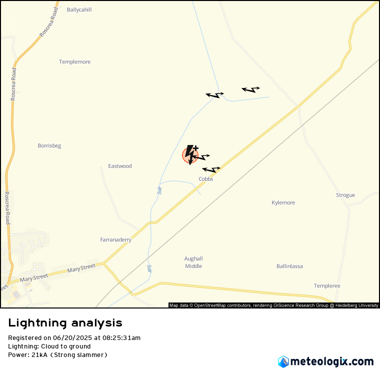
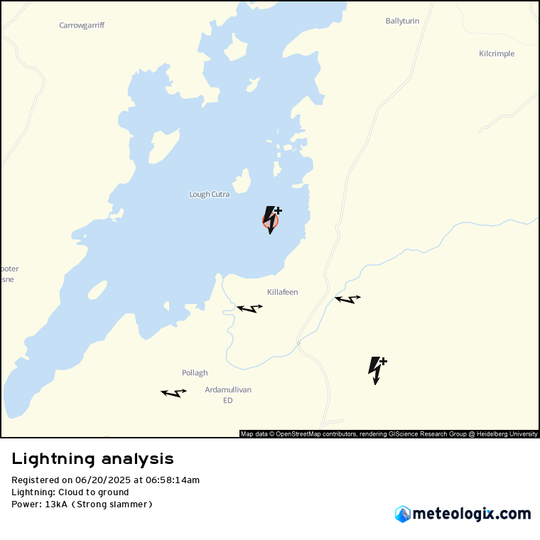
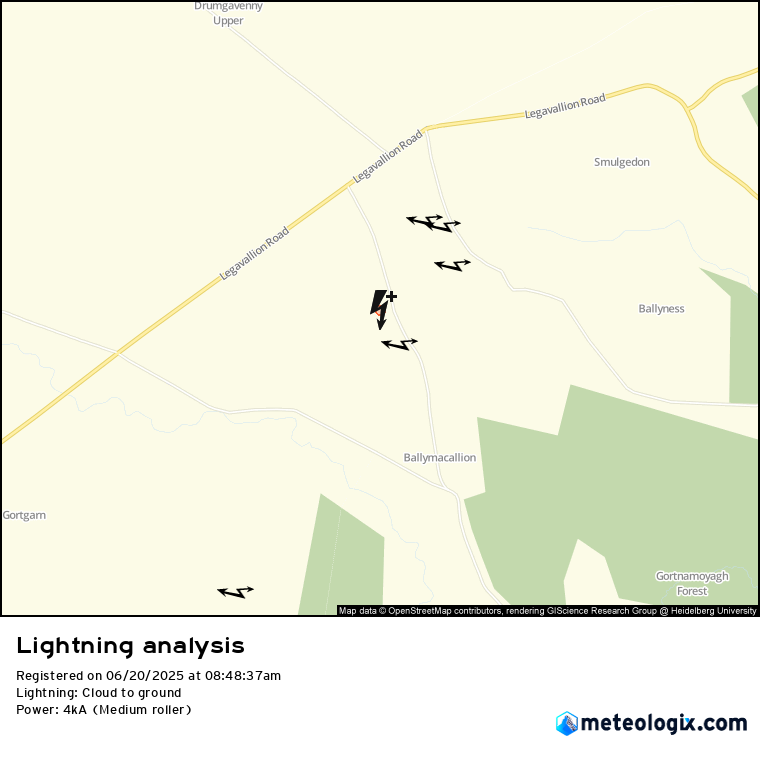
More than 200 lightning strikes were recorded across six counties this morning, as intense thunderstorms swept through parts of Ireland following two days of hot weather.
The thunderstorms—most active in east Clare, north Tipperary, north Cork, Limerick, south Galway, and east Derry—came on the heels of high temperatures on Thursday, with Met Éireann issuing a Status Yellow thunderstorm warning for Clare and Galway early Friday.
Thunderstorms are triggered when warm, moist air rises rapidly and cools in the upper atmosphere, forming towering cumulonimbus clouds. These storms are often accompanied by lightning, thunder, heavy downpours, and gusty winds—and occasionally hail.
Friday’s lightning activity came just hours after a new temperature record was set for 2025. Mount Dillon in Roscommon had claimed the year’s highest temperature on Thursday with a sweltering 27°C. However, that mark was quickly surpassed on Friday when temperatures soared to 29.4°C at Mount Dillon, Roscommon. Meanwhile, Castlederg in Co. Tyrone registered 28.3°C, marking Northern Ireland’s hottest day of the year so far.
The hot spell, driven by a high-pressure system over Ireland, is expected to give way to more unsettled conditions. A shift away from the settled spell will take hold from Sunday onwards as Atlantic systems move in, bringing cooler temperatures, cloudier skies, and increased chances of rain.
Share this WeathÉire story:

