 in Irish Weather History 1")


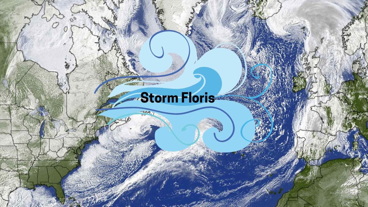
Storm Floris Wind Gusts Set to Reach 100 km/h
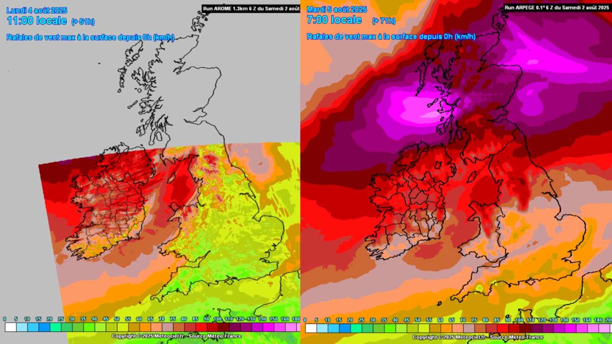
Storm Floris is set to bring a wet and stormy start to the August Bank Holiday Monday, with wind gusts expected to exceed 90 to 100 km/h in parts of the north and northwest.
A shortwave trough situated off St. Johns in Newfoundland is forecast to rapidly deepen over the Alantic in the next 24 hours, eventually tracking northeastward along Ireland’s northwest coast before shifting toward northern Scotland.
The strongest winds will develop on the southern flank of the system, bringing potentially damaging gusts across parts of Connacht and Ulster.
The synoptic weather stations most likely to record the highest gusts include Belmullet in Mayo, Finner and Malin Head in Donegal, Ballypatrick in Antrim, and Magilligan in Derry.
The far south and southeast will experience much less windy and wet conditions.
Such gusts are relatively unusual but not rare for Ireland in August.
For context, on August 1st, 1986, a gust of 115 km/h was recorded at Malin Head, Donegal. More recently, Storm Ellen produced a gust of 143 km/h at Cork (Roches Point) on August 19th, 2020. Another notable August event was Hurricane Charley, which struck Ireland on August 25th, 1986, causing widespread flooding and damage, particularly along the east coast.
Wind and Rain to Disrupt Bank Holiday Plans
From the early hours of Monday, gusts of over 90 km/h are expected along Atlantic coastal counties, with some exceeding 100 km/h around north Ulster. Southern parts of Leinster and Munster will see lower wind gusts of approximately 60-70 km/h. The strongest winds are likely between dawn and early afternoon, particularly across higher ground and exposed coastal locations.
Heavy rainfall will accompany the winds, especially in the southwest, west and north, with the potential for localised flooding. Thunderstorms are possible in the northwest, increasing the risk of lightning damage and hazardous driving conditions during the Monday morning commute.
Rainfall totals will likely range 15-20mm in the far northwest, perhaps higher locally with any thunderstorm activity. Totals will be much lower in the far south and southeast with rainfall amounts of less than 5mm.
Rain will clear from the west coast by midday, with sunny spells and isolated showers developing through the afternoon. However, winds will remain blustery throughout the day.
Weather Warnings in Effect
Met Éireann has issued several Status Yellow warnings:
- Wind Warning for Clare, Galway, Mayo and Sligo from 2am to 1pm Monday
- Wind Warning for Cavan, Donegal, Monaghan and Leitrim from 4am to 4pm Monday
- Rain Warning for Donegal, Galway, Leitrim, Mayo and Sligo from 2am to 10am Monday
The warnings highlight the risk of fallen trees, power outages, structural damage and dangerous driving conditions. Wave overtopping is also possible along exposed Atlantic coasts.
The UK Met Office has issued a Yellow Wind Warning for Antrim, Armagh, Down, Fermanagh, Tyrone and Derry, valid from 6am Monday to 6am Tuesday. They warn of unseasonably strong winds with a risk of travel delays, debris on roads and temporary power cuts.
Hazardous Marine Conditions
Met Éireann has also issued a series of marine warnings:
- A Small Craft Warning is in effect from Mizen Head to Loop Head to Erris Head, where southerly winds will reach force 6 or 7 from 11pm Sunday to 1am Monday.
- A Nationwide Small Craft Warning comes into force from 1am Monday to 1pm Tuesday, with south to southwest winds veering westerly and reaching force 6 or higher.
- A Status Yellow Gale Warning has been issued for Loop Head to Bloody Foreland to Carlingford Lough, and for the Irish Sea north of Anglesey, where winds are expected to strengthen to gale force 8 with occasional strong gale force 9 gusts between 1am and 7pm Monday.
Outlook
Calmer and brighter weather is expected to return for Tuesday and much of Wednesday, bringing a more settled spell after Monday’s turbulent conditions.
Read our long range forecast for more on next week’s weather.
Share this WeathÉire story:

