 in Irish Weather History 1")


Storm Floris to Bring Strong Gusts and Heavy Rain
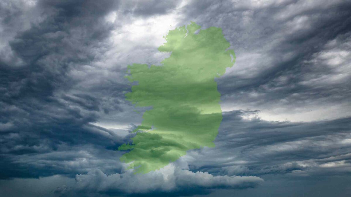
Storm Floris is forecast to bring unseasonably strong winds and heavy rainfall to parts of Ireland on Bank Holiday Monday, with the most severe conditions expected in the north and northwest.
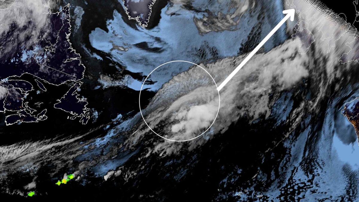
The system, currently a rapidly deepening shortwave trough located off St. John’s, Newfoundland as of Sunday morning, is tracking northeastward across the Atlantic. It is projected to reach Ireland’s northwest coast early Monday morning before moving towards northern Scotland.
Wind and Rainfall Forecast
The strongest winds will occur on the southern flank of the system, particularly affecting counties in Connacht and Ulster. Wind gusts are expected to exceed 90 km/h in exposed areas, especially along the north and northwest coasts. Inland areas of southern Ulster may also experience damaging gusts. Lower wind speeds, in the range of 55–65 km/h, are expected across much of Leinster and Munster.
These wind speeds, while uncommon for August, are not without precedent. For example, Malin Head recorded a gust of 115 km/h on August 1st, 1986. Storm Ellen brought a gust of 143 km/h to Roches Point on August 19th, 2020, while the highest gust from Storm Lilian on August 23rd 2024 was 52 knots (96 km/h) reported at Roche’s Point, Co Cork. Hurricane Charley also brought severe weather to Ireland on August 25th, 1986.
In addition to the wind, heavy rainfall is forecast across western and northern counties, particularly in Connemara, west Mayo, and Donegal. Rainfall totals in these areas may reach 15–20 mm, with locally higher amounts possible during any thunderstorm activity. Thunderstorms may also produce lightning, leading to additional hazards including power outages and dangerous driving conditions during the morning commute.
By contrast, the far south and southeast of the country will receive much lighter rainfall, with totals likely remaining below 5 mm.
Rain is expected to clear from western areas by midday on Monday, followed by sunny intervals and scattered showers during the afternoon. However, strong and blustery winds will persist throughout the day, particularly in coastal and elevated regions.
Weather Warnings in Effect
Met Éireann has issued multiple Status Yellow weather warnings:
- Wind Warning for Clare, Galway, Mayo and Sligo (2am–1pm Monday)
- Wind Warning for Cavan, Donegal, Monaghan and Leitrim (4am–4pm Monday)
- Rain Warning for Donegal, Galway, Leitrim, Mayo and Sligo (2am–10am Monday)
These warnings highlight risks including falling trees, localised power outages, minor structural damage, and hazardous road conditions. Wave overtopping is also possible along exposed Atlantic coastlines.
The UK Met Office has issued a Yellow Wind Warning for Antrim, Armagh, Down, Fermanagh, Tyrone and Derry, valid from 6am Monday to 6am Tuesday. It warns of travel disruption, debris on roads, and potential temporary power loss due to unseasonably strong winds.
Marine Warnings
Met Éireann has also issued several marine advisories:
- A Small Craft Warning from Mizen Head to Loop Head to Erris Head (11pm Sunday to 1am Monday), with southerly winds reaching force 6 or 7.
- A Nationwide Small Craft Warning (1am Monday to 1pm Tuesday), as south to southwest winds veer westerly and reach force 6 or higher.
- A Status Yellow Gale Warning from Loop Head to Bloody Foreland to Carlingford Lough and for the Irish Sea north of Anglesey (1am to 7pm Monday), with winds expected to reach gale force 8, occasionally strong gale force 9.
Areas Most Affected
Synoptic stations likely to record the highest wind gusts include Belmullet (Mayo), Finner and Malin Head (Donegal), Ballypatrick (Antrim), and Magilligan (Derry). In contrast, the far south and southeast are expected to experience significantly less severe conditions.
Outlook
A return to calmer, more settled weather is expected from Tuesday through much of Wednesday, with drier and brighter conditions across most of the country.
For details beyond midweek, see our extended forecast.
Share this WeathÉire story:

