 in Irish Weather History 1")


All eyes on next possible Atlantic storm
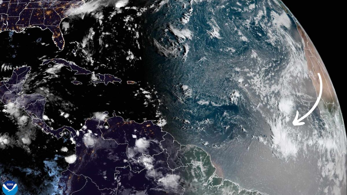
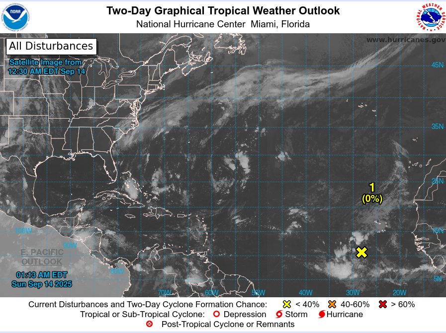
The US National Hurricane Center is closely monitoring a tropical wave in the eastern Atlantic that could develop into the next Atlantic storm.
The system, located near the west coast of Africa, is producing disorganised showers and thunderstorms across the far eastern Atlantic.
The National Hurricane Center has said that environmental conditions are expected to limit significant development over the next couple of days, but there is a medium chance, around 60 per cent, that the system could form into a tropical depression within the next seven days as it moves west-northwestward over the central Atlantic.
The 2025 Atlantic hurricane season has been unusually quiet so far, despite forecasts for above-average activity. Only six named storms have formed to date, including Hurricane Erin, which reached Category 5 intensity in August. The season’s accumulated cyclone energy, a measure of overall storm activity, is about 41 per cent below the long-term average, highlighting the subdued nature of this year’s season.
Meteorologists caution that a quiet start does not preclude increased activity later in the season. Weather patterns such as the Madden-Julian Oscillation are expected to enter the Atlantic in the coming weeks, creating conditions more favourable for storm formation. A La Niña watch is also in effect, which could increase the likelihood of late-season storms.
For now, the tropical wave near the Cape Verde Islands warrants close attention. While it poses no immediate threat to land, its development could signal a shift towards more active conditions in the Atlantic as the season progresses.
Share this WeathÉire story:

