High Pressure Promises Dry, Autumnal Weather Through Mid-Month

Ireland may in line for a prolonged spell of settled weather lasting through to the middle of the month, with long-range models indicating that high pressure will become established over or close to the country from midweek onwards.
The development would mark a sharp contrast with the opening days of October, which have been exceptionally wet. Eight of Met Éireann’s 24 synoptic weather stations have already recorded more than half their average monthly rainfall in just the first three days. The west has borne the brunt of the downpours in the lead up to and during Storm Amy, the first named storm of the 2025-26 season.
At Mace Head in Galway, 70 per cent of the station’s October long-term average had fallen by Friday night, with almost three inches (74.2mm) logged in 72 hours. Athenry also exceeded the halfway mark, recording 66mm compared with a long-term monthly average of 118mm.
A change is on the horizon, however. From Sunday onwards parts of the south and east may remain almost completely dry through to mid-month, while the rest of the country is expected to see markedly improved conditions after Tuesday.
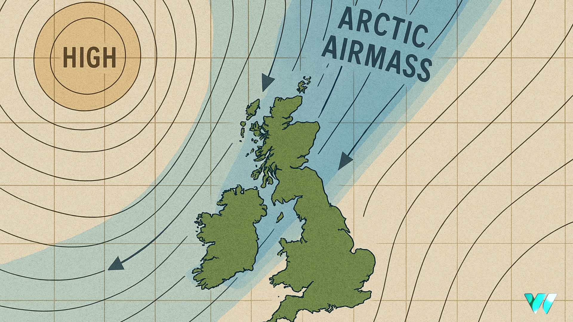
While widespread sunshine is unlikely, clearer skies are expected to develop by the end of next week. A shift of the high-pressure system slightly east of Ireland will allow an easterly airmass to settle in, bringing relatively calm conditions that could lead to fog and frost overnight into the start of the following week.
The arrival of this calmer, more autumnal pattern is being driven by high pressure extending north from the Azores and gradually building over Ireland through the week. Forecast models suggest the influence of this system will persist until at least the middle of October. Beyond that point the outlook is less certain, with mixed signals for the final third of the month.


