Why Is Ireland So Cloudy Despite High Pressure?

Despite a dominant high-pressure system building over Ireland, the past few days have been overcast and dull across much of the country. This might seem surprising, as high pressure is typically associated with clear skies and settled weather. However, the current setup has produced quite the opposite.
On Friday, mean sea level pressure over Ireland reached 1036 hPa in the southern half of the island, one of the highest readings recorded in 2025.
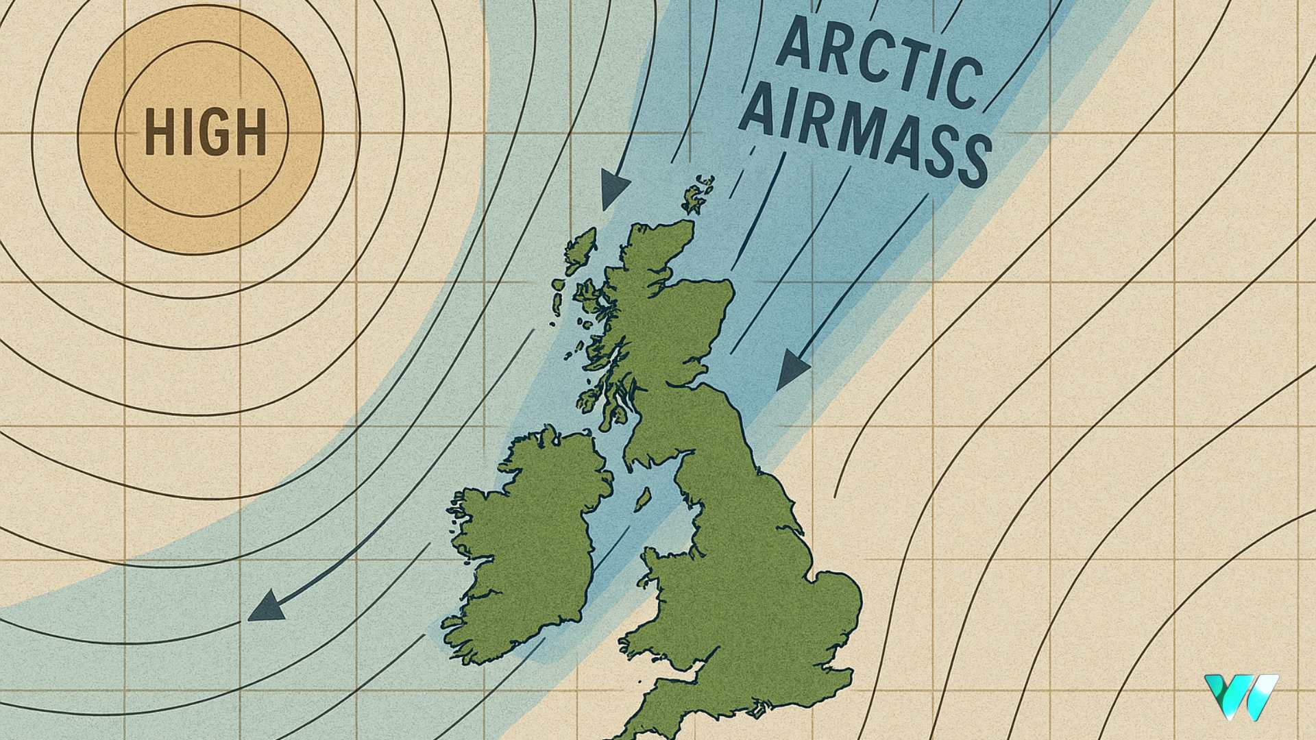
While such a strong high often brings sunshine, its position is key. This particular high is centred over the south of Ireland, which has resulted in a largely westerly airflow across much of the island. Westerly winds tend to bring in moist Atlantic air, and under the stable conditions of high pressure, this moisture becomes trapped near the surface. With little vertical movement in the atmosphere and weak autumnal sunshine, low cloud, mist, and fog have persisted. The impact has been felt across the island.

Malin Head in County Donegal recorded just 5.9 hours of sunshine over the past week, only 27 percent of the average. Meanwhile, Johnstown Castle in County Wexford fared better with 21.4 hours, or 87 percent of the average, thanks to its location in the brighter southeast. These figures highlight the regional differences caused by the airflow and positioning of the high.
Looking ahead, the high pressure is expected to drift and become centred over the northeast or north midlands of Ireland. As it does so, winds will fall light easterly or even calm at times, particularly overnight. These conditions are ideal for the formation of mist and fog patches, especially in inland areas and sheltered valleys. The lack of wind and weak sunshine will make it difficult for these fog patches to clear quickly in the mornings.

Depending on the exact orientation of the high, locations to the northwest of its centre may experience occasional patches of drizzle or even light rain at times next week. However, any rainfall will be minimal, with accumulation totals expected to be slight.
On the plus side, dry weather has brought a marked improvement in ground conditions across Ireland. According to Met Éireann, while poorly drained soils remain saturated, lighter soils are now trafficable. With settled conditions expected to persist, field access is likely to improve steadily across all soil types, including some of the more waterlogged areas. By next week, soil moisture deficits are forecast to range from 5 to 11mm in moderately and well-drained soils, and from -1 to 8mm in poorly drained soils.


