 in Irish Weather History 1")


Met Éireann Signals Shift to Unsettled Conditions for Coming Weeks
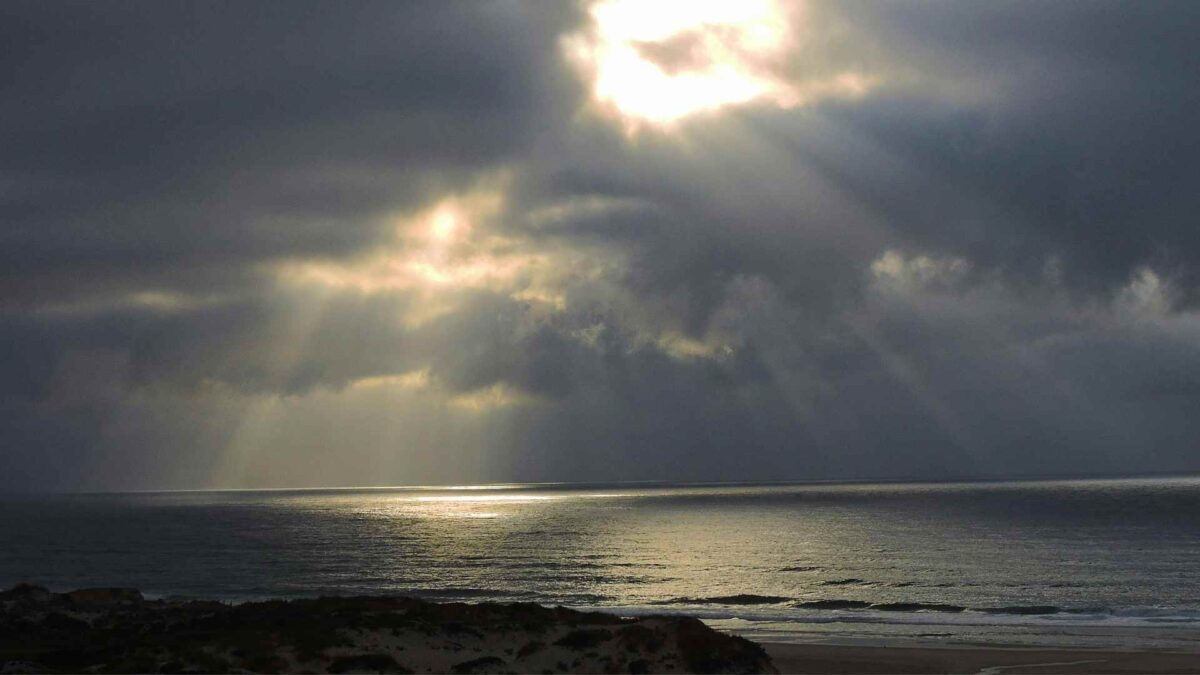
Ireland is bracing for a shift in weather patterns as Met Éireann’s latest extended forecast signals a move toward more unsettled conditions through late October and into November.
After a relatively stable start to the month, low pressure systems are expected to take hold, bringing a mix of rain and mild temperatures across the country.
The week beginning Monday 20 October marks the start of this transition. While temperatures are forecast to hover around or slightly above the seasonal norm, rainfall is expected to be below average. The dominance of low pressure will gradually increase, setting the stage for more changeable weather.
By the final week of October, the forecast suggests a more mixed picture. Rainfall totals are predicted to rise above normal levels, particularly in western and northern counties, while temperatures remain close to average. The unsettled trend continues into early November, with low pressure systems likely to persist. Rainfall is again expected to exceed typical amounts, though temperatures should stay near the seasonal benchmark.
The outlook for the second week of November offers little reprieve. Met Éireann notes a weak but consistent signal for continued low pressure dominance, bringing further unsettled conditions across Ireland and northwestern Europe. Rainfall is forecast to remain above normal, and temperatures may trend slightly higher than average.
Looking further ahead, the seasonal forecast for November, December and January paints a picture of mild but unpredictable weather. The Copernicus Climate Change Service (C3S) models indicate that Ireland is likely to experience above average temperatures during the winter months, with anomalies ranging from 0.5 to 1.0 degrees Celsius. However, forecasters caution that colder spells are still possible, and winter hazards such as frost and ice cannot be ruled out.
Rainfall projections for the NDJ period are less definitive. The models suggest a potential for both wetter and drier than average spells, making long-term planning more difficult. Sea surface temperatures around Ireland and across the Atlantic are expected to be warmer than usual, particularly in December and January, which could influence storm activity and coastal conditions.
Share this WeathÉire story:

