 in Irish Weather History 1")


No Named Halloween Storm Yet, But Gales Possible on Thursday and Friday
The final days of October and the first week of November are set to remain changeable across Ireland, with unsettled conditions driven by Atlantic low-pressure systems.
Showers and longer spells of rain will affect the country, with rainfall totals near normal in eastern areas but approaching twice the average in Atlantic coastal counties.
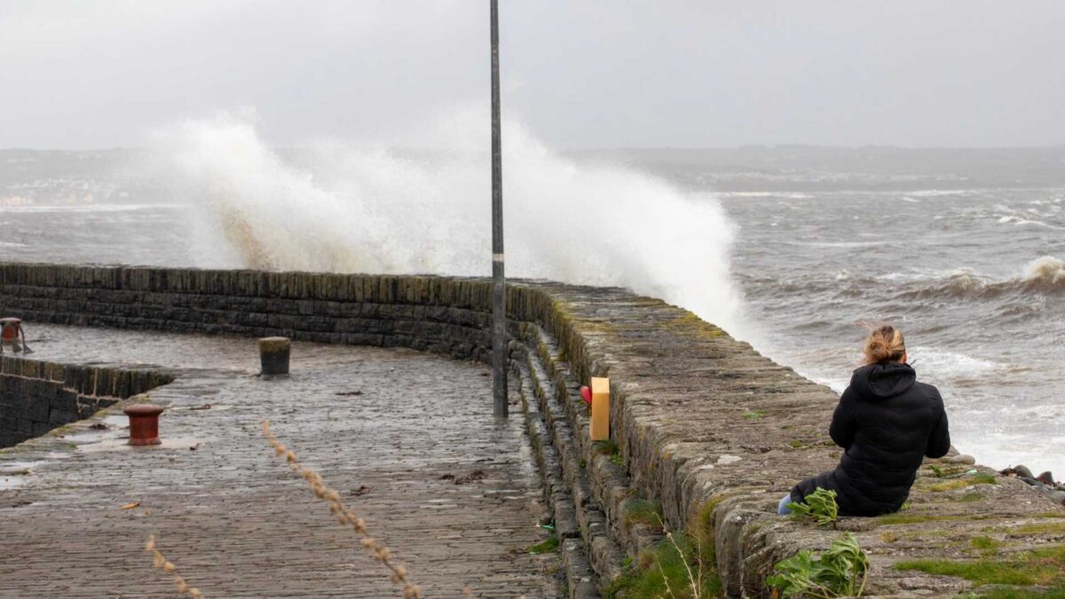
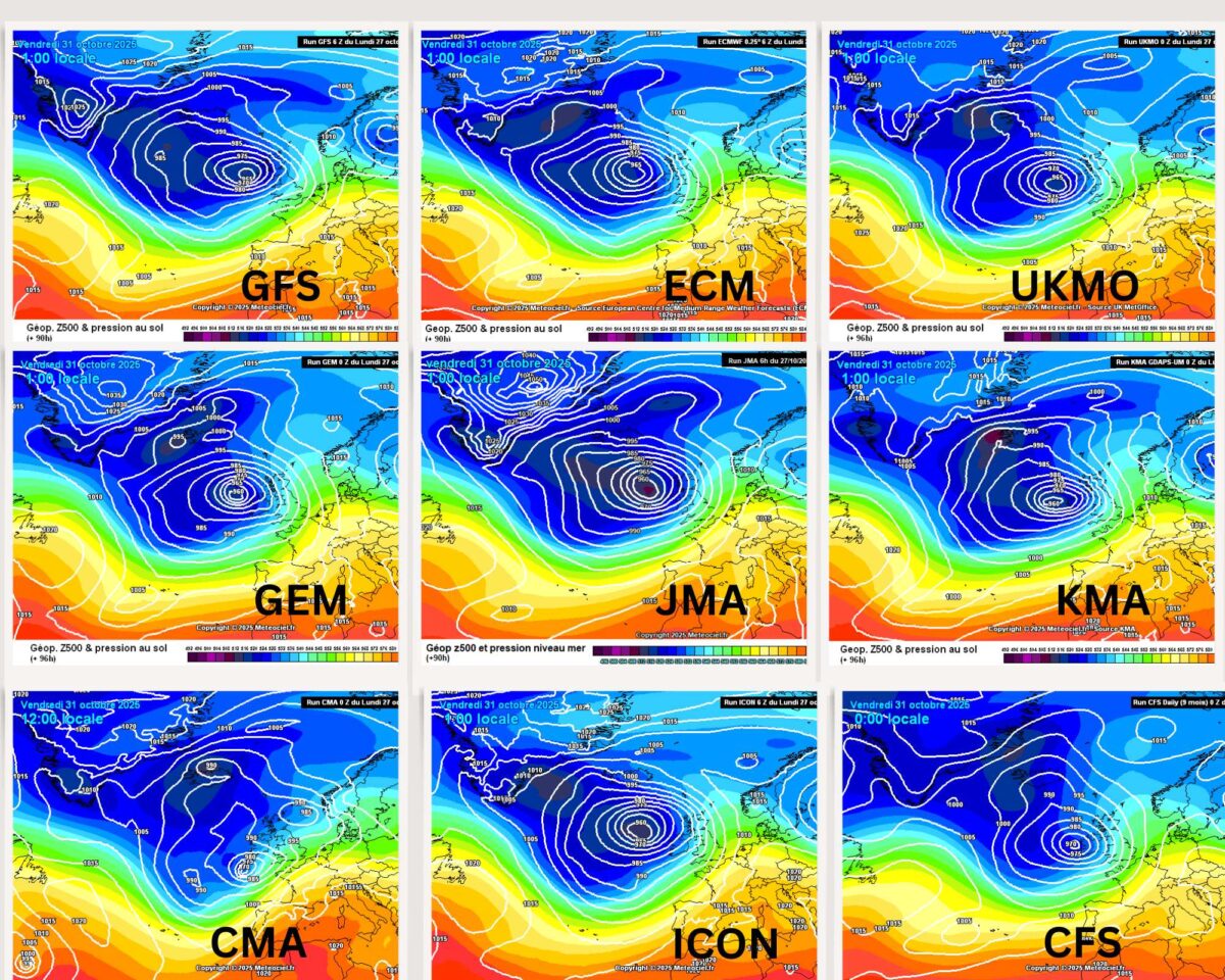
Weather models show a low-pressure system tracking north along Ireland’s west coast later Thursday into Friday. Strong winds are possible, with a risk of gales in exposed locations. At present, projected wind speeds do not meet the threshold for a named storm as defined by the UK Met Office, Met Éireann, or the KNMI.
Winds will initially be southeast to southerly, strengthening to moderate gale force in coastal areas, with gusts potentially reaching 100 km/h or higher in exposed south and west locations. Winds will veer south-westerly on Friday and ease gradually by the end of the day.
Contrary to some social media and news reports and as reported by WeathÉire last Friday evening, the system is not the remnants of Hurricane Melissa, currently a Category 5 hurricane near Jamaica.
Instead, it is a depression powered by the meeting of cold polar air and warmer subtropical air, steered toward Ireland by the polar jet stream and energised by warm ocean currents. Strong westerly winds will carry it toward the northwest of the country.
The unsettled weather pattern is expected to continue through the first ten days of November, with further rain and showers and occasional strong winds. Temperatures are likely to remain close to the seasonal average.


