 in Irish Weather History 1")


Scientists turn to AI for sea level and space data

A new artificial intelligence tool developed by researchers at the University of Hawai‘i at Mānoa is helping scientists explore complex geoscience data, from tracking sea levels on Earth to analysing atmospheric conditions on Mars.
The Intelligent Data Exploring Assistant, known as IDEA, combines the power of large language models, similar to those used in ChatGPT, with scientific datasets, tailored instructions and computing resources. By asking questions in everyday language, researchers can use IDEA to retrieve data, run analyses, generate plots and review its own results. The work was recently published in the Journal of Geophysical Research: Machine Learning and Computation.
“We built a prototype assistant that lets scientists ask plain-language questions and get back working code, clear explanations and even publication-ready figures in minutes,” said Matthew Widlansky, lead author of the study and associate director of the UH Sea Level Center. “Our goal was to lower the barrier between geophysical data and the people trying to understand it.”
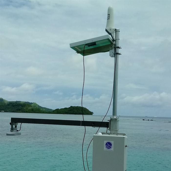
Widlansky and software engineer Nemanja Komar, co-author of the study, developed a specialised version of IDEA called the Station Explorer Assistant, or SEA. SEA applies the IDEA framework to global sea level observations, allowing researchers and students to examine coastal change through natural language queries.
“With the Station Explorer Assistant, users do not need to write a single line of code to analyse tide gauge data, track sea level rise or assess flooding occurrence,” Widlansky said.
Komar added that the framework could easily be adapted to explore new datasets. “We even shifted from sea level records to dust storms on Mars just by changing the instructions and data source,” he said.
The researchers note that AI-generated analyses are not infallible. “SEA and other IDEA-based applications can make mistakes, like miscalculating a trend,” Widlansky said. “That is why human oversight remains essential. We are building tools to assist scientists, not replace them.”
To create SEA, the team linked a large language model service from OpenAI to the UH Sea Level Center’s data archive. They added domain-specific instructions for analysing tide gauge data and ran the generated code in a secure computing environment at UH. This allows the assistant to analyse coastal water level observations, assess sea level trends and explain the results without requiring users to write computer code.
“By incorporating tide gauge measurements with an interactive, expert AI assistant, we give scientists and students a new way to explore how rising seas and high-tide flooding affect the world’s coastlines,” Widlansky said.
While SEA focuses on sea level data, IDEA is designed for a broad range of geoscience applications. The team successfully adapted it to study Martian atmospheric data, despite having no prior experience in that area, simply by changing the instructions and data source.
The SEA prototype is available online for scientists and university students to test, and the IDEA framework is open source on GitHub. The team invites developers to adapt it for other datasets or large language models, and to share feedback via idea-dev-grp@hawaii.edu.
Future plans include adding automated checks to reduce plotting errors, expanding the range of supported data sources and introducing tools for building customised assistants for other geoscience challenges. Widlansky and Komar hope such tools will speed up discovery and make scientific exploration more accessible to students, educators and researchers in Hawai‘i and beyond.
Share this WeathÉire story:

