in Irish Weather History 1")


Copernicus captures the islands of the west
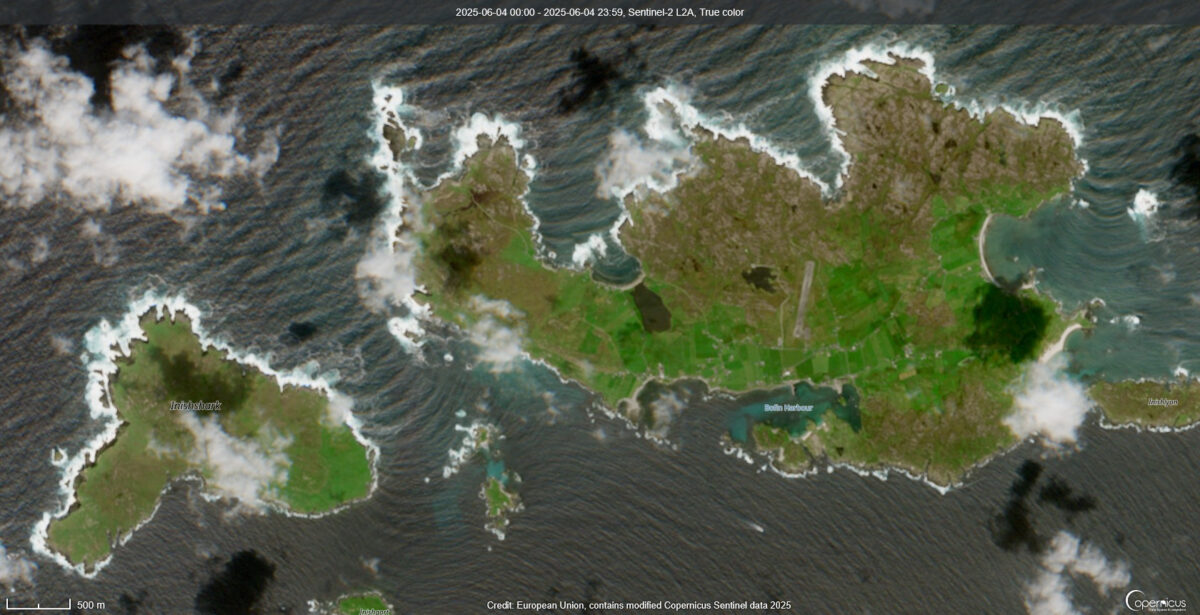
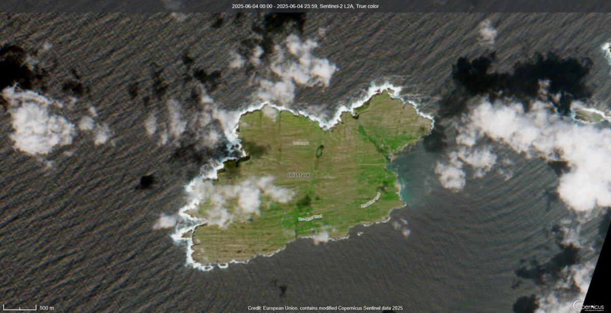
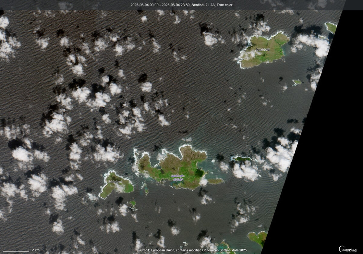
A satellite image taken by the Copernicus Sentinel-2 mission on Saturday offers a crystal-clear view of three of Ireland’s most picturesque offshore islands—Inishturk (County Mayo), and Inishark and Inishbofin (County Galway).
Visible in the image are what meteorologists often call “satellite cotton clouds”—distinct cumulus cloud formations that appear as fluffy white puffs scattered across the sky.
These clouds form when warm air near the Earth’s surface rises and carries moisture upward. As the air ascends and cools, the moisture condenses into water droplets, forming the classic cotton-like shapes associated with fair weather.
The Copernicus Sentinel-2 satellites, operated by the European Space Agency (ESA), play a key role in Earth observation—monitoring everything from vegetation growth and coastal erosion to cloud patterns and water quality.