 in Irish Weather History 1")


Humid Air Fuels Thunderstorm Threat Across Ireland
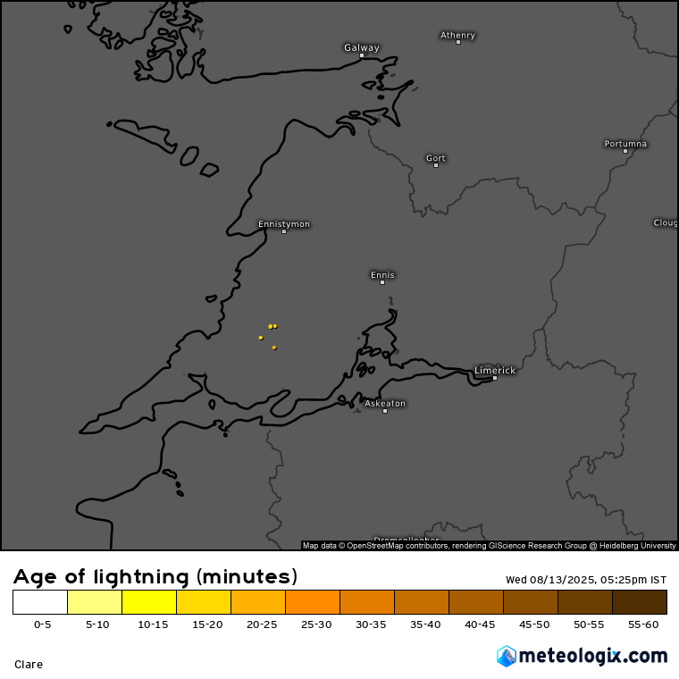
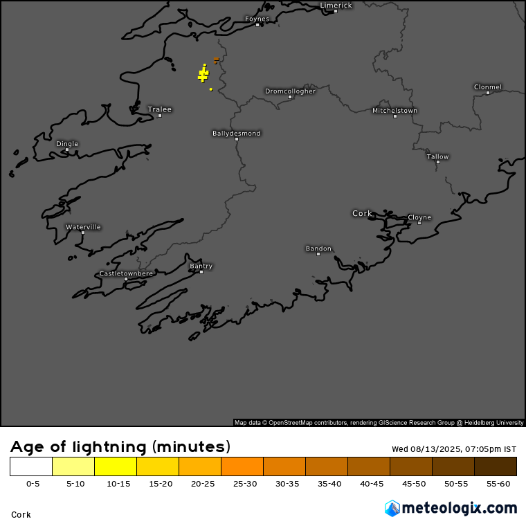
Scattered heavy showers developed across west and north Munster on Wednesday afternoon, prompting a Status Yellow thunderstorm alert for Clare, Kerry and Limerick.
Met Éireann said the alert, in place until 9pm, will produce heavy downpours, lightning and possible localised flooding as humid air combines with unstable atmospheric conditions. Motorists are advised to take extra care where surface water could build up quickly.
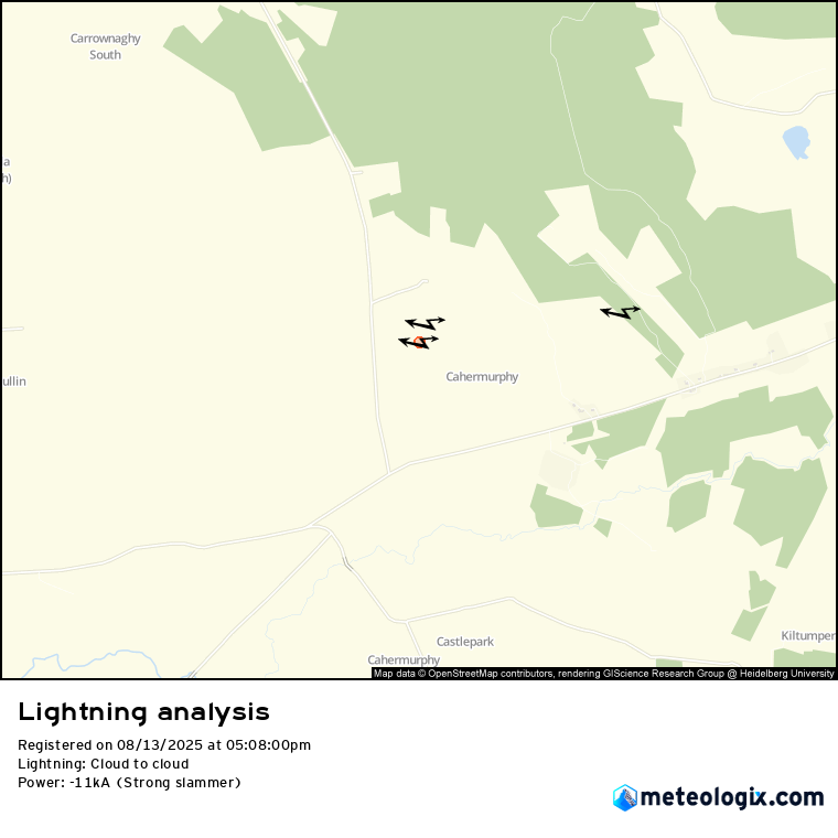
Video footage (above) from west Clare on Wednesday showed towering cloud tops and strong convection associated with the developing storms. Some lightning was reported in the Kilmihil area (below).
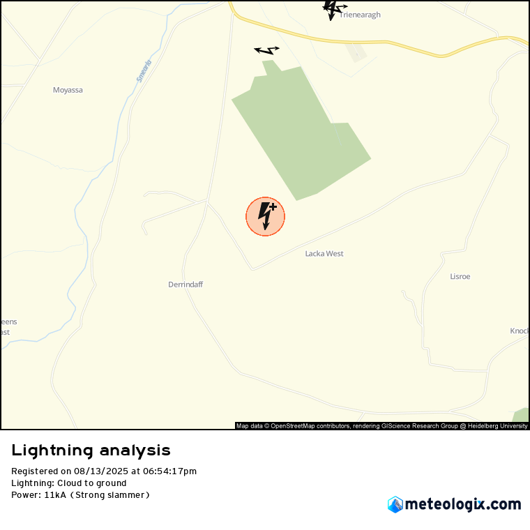
There also was a cloud to ground lightning strike in North Kerry this evening. The “strong slammer” was recorded a few kilometres southeast of the town of Listowel.
Meanwhile, the UK Met Office has issued a yellow thunderstorm warning for all six counties of Northern Ireland on Thursday. The alert, covering Antrim, Armagh, Down, Fermanagh, Tyrone and Derry from midnight until 10pm, warns of possible disruption from heavy showers and thunderstorms.
While some areas are expected to remain dry, forecasters say scattered downpours could lead to localised flooding, difficult driving conditions and travel delays. The Met Office also cautioned that lightning strikes and hail are possible in the most intense cells.
The coming week will be warm and mostly dry, with plenty of sunshine and just occasional showers, some thundery at times. Daytime temperatures will generally range from 19 to 27 °C, warmest in the south and east, and nights will be mild. Light to gentle easterly or southeasterly breezes will dominate, with high pressure keeping conditions settled into early next week before a possible shift to more changeable weather later.
Share this WeathÉire story:

