 in Irish Weather History 1")


Wet and windy 24 hours ahead

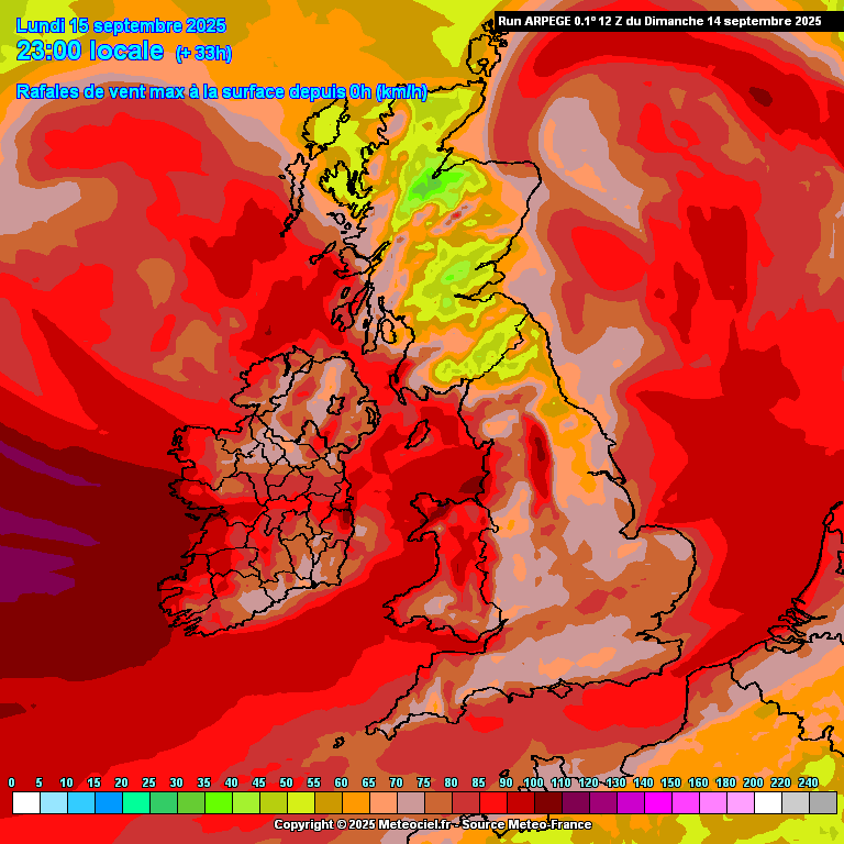
A deep Atlantic low will bring periods of gale force winds tonight and into Monday morning.
The system is currently located to the northwest of Ireland, with its centre (980 hPa at 6pm) tracking to the north of Ireland and across northern Scotland.
Met Éireann has issued a Status Yellow wind warning for Mayo, Kerry, Clare and Galway, with gusts of 90 to 100 km/h expected in exposed coastal areas and on high ground and 75 to 85 km/h further inland. The strongest winds are forecast later tonight and in the early hours of Monday.
It will remain blustery through the day, with gusts still reaching 75 to 85 km/h in parts of the west and northwest and 60 to 70 km/h elsewhere.
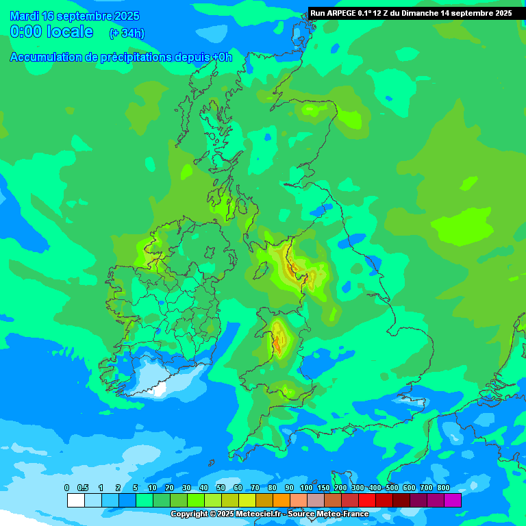
A separate Status Yellow alert takes effect in Sligo, Leitrim and Donegal on Monday morning, where showers and longer spells of rain may bring totals of up to 25mm by Monday night.
Rainfall will be lighter in most other areas, with the southeast expected to see as little as 2 to 4mm.
A band of heavy rain will cross the country on Tuesday, followed by brighter intervals midweek before further unsettled conditions set in later.
Share this WeathÉire story:

