Dry Now, Wet Later: Long Range Forecast Teases a Turn

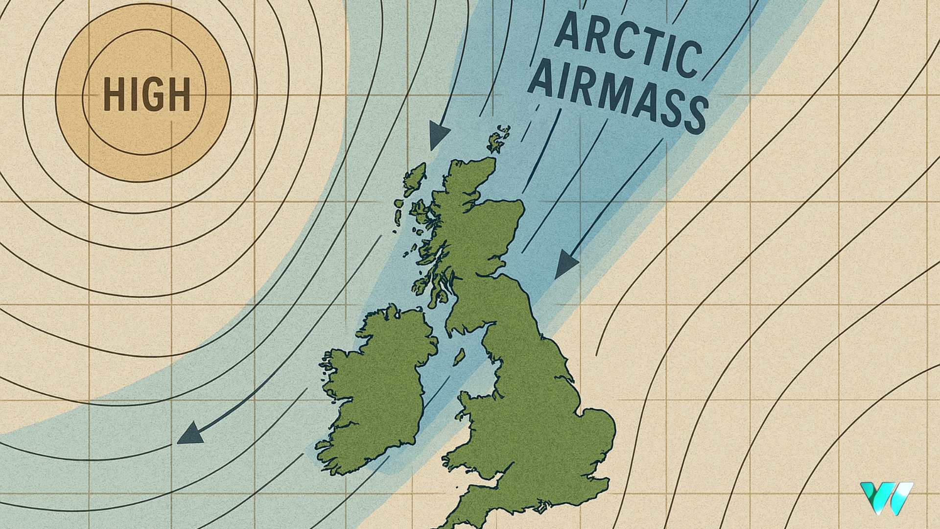
High pressure will dominate Ireland’s weather through the week beginning Monday, October 13, bringing settled and largely dry conditions. Temperatures are expected to be slightly above average for the time of year, according to Met Éireann’s extended range forecast.
From Monday, October 20, the weather is likely to turn more mixed. While rain will occur at times, high pressure remains influential, keeping rainfall amounts below normal. Temperatures will be near seasonal norms.
By the final week of October, low pressure is expected to take hold, leading to more unsettled conditions. Met Éireann notes the potential for heavy rain, showers, and strong winds, though these will be interspersed with drier and brighter spells. Rainfall totals will likely be above average, with temperatures remaining typical for the time of year.
The first week of November continues the changeable theme. Low pressure will be dominant, bringing spells of rain, particularly to western and northwestern coastal areas. Dry intervals are expected, and overall rainfall amounts should be close to average. Temperatures will likely stay around normal.
Looking further ahead, Met Éireann’s seasonal outlook for October–December 2025, based on Copernicus Climate Change Service (C3S) models, suggests above-average temperatures across Ireland, trending 0.5 to 1.0°C above normal. While colder spells with potential winter hazards may still occur, sea surface temperatures around Irish coasts are expected to remain slightly above average.
Rainfall projections are less certain. October may be wetter than usual, November could trend drier, and December is forecast to be mixed, with the possibility of both wet and dry spells.
Share this WeathÉire story:


