 in Irish Weather History 1")


Ireland Faces Unsettled Spell with Cooler Air from the West
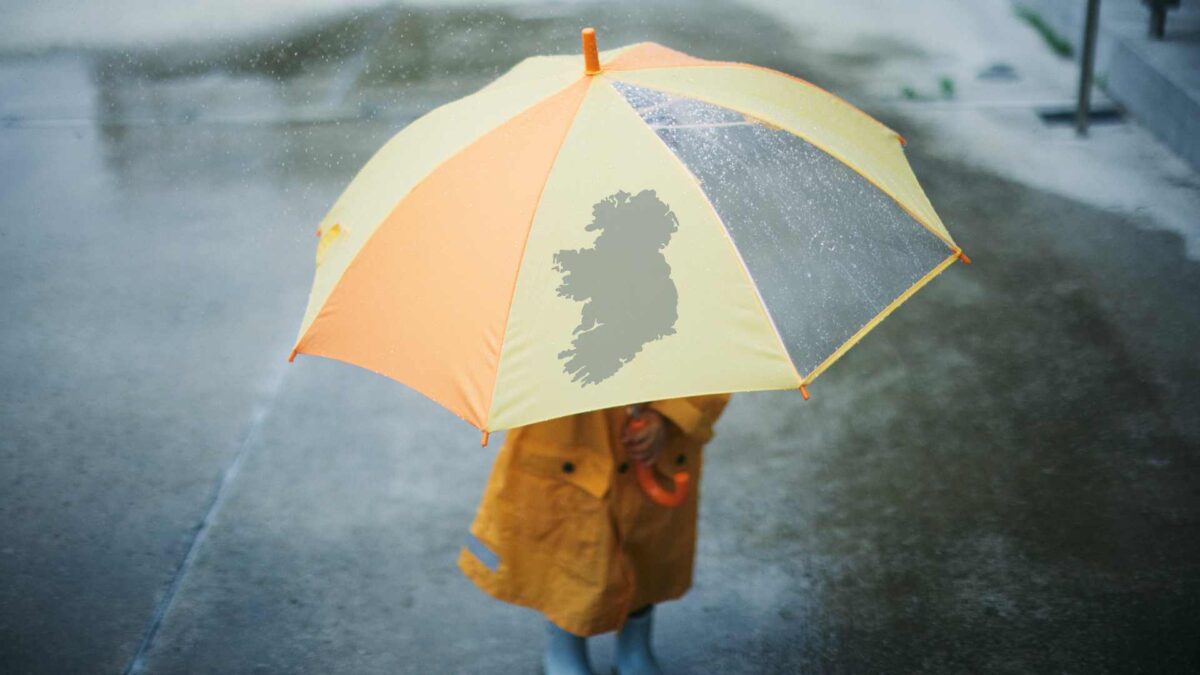
Met Éireann’s extended outlook shows mostly unsettled conditions across Ireland for the coming weeks.
From Monday 15 September, low-pressure systems over the Atlantic will dominate, bringing frequent rain and showers, particularly to western and northwestern counties.
A westerly airflow will keep temperatures cooler than average, while breezy and blustery spells are expected at times.
By the week of 22 September, there are early signs that high pressure may edge closer to Ireland. This could bring periods of more settled weather, although showers will continue, especially along coastal areas. Rainfall is expected to be near normal in most parts of the country, with temperatures trending slightly higher, closer to seasonal averages.
Into the week of 29 September, confidence in the forecast decreases, but indications suggest low-pressure systems could return, bringing more frequent rain. Most areas are likely to see rainfall above the seasonal norm, while temperatures remain near average.
Early October is expected to continue this unsettled pattern, with rain and showers persisting across the country. Rainfall is likely to remain above normal, while temperatures stay close to seasonal levels.
Met Éireann’s seasonal outlook for September, October, and November points to above-average temperatures, with mean values expected to be between 0.5 and 1.0 degrees Celsius higher than normal. Rainfall is less certain, with alternating wetter and drier periods possible, although October may see some drier spells. Sea surface temperatures around the Irish coast are expected to remain above average, ranging from 0.5 to 2 degrees Celsius higher than normal.
Share this WeathÉire story:

