Soggy Southeast Tops Rainfall Charts

Ireland experienced significantly above-average rainfall over the past week, according to Met Éireann, with totals ranging from 118 per cent to an exceptional 371 per cent of the seasonal norm.
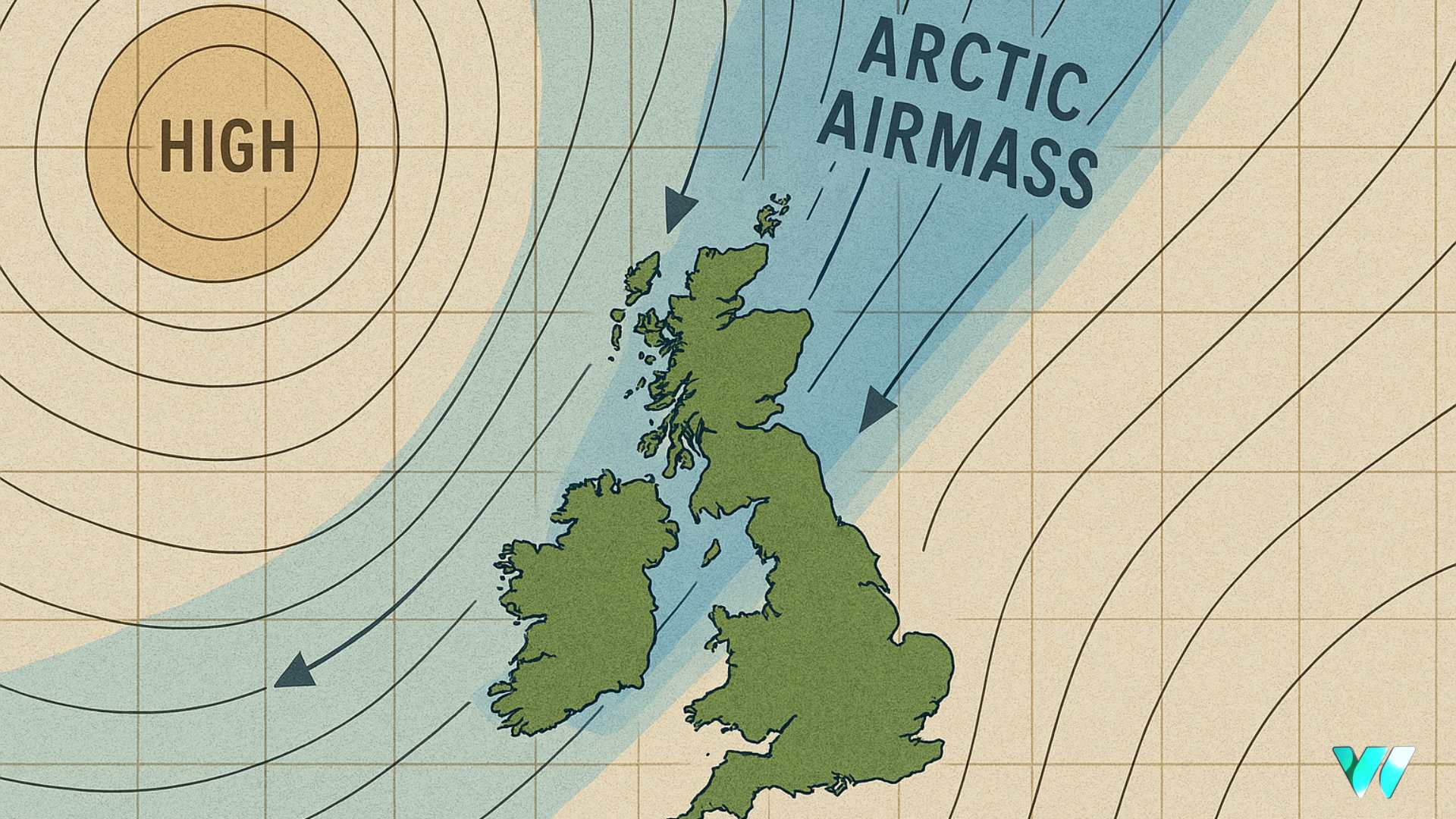
Johnstown Castle in Co Wexford was the wettest station, recording 77.8mm of rain, while Dublin Airport saw the least with 28mm. Despite the recent deluges, high pressure is expected to build over the country in the coming days, bringing drier-than-average conditions.
Forecasters say a shift back to more unsettled weather may develop towards next weekend. While most areas will see between 10 and 25mm of rain, localised totals could once again exceed the average.
Mean air temperatures over the past seven days were close to the seasonal norm, ranging from 11.9 degrees at Knock/Ireland West Airport in Co Mayo to 14.2 degrees at Oak Park in Co Carlow. Mean soil temperatures were notably higher than average, between 12.5 and 14.7 degrees – up to two degrees above normal.
The coming week is set to feel cooler, with daytime averages of 10 to 14 degrees forecast for most of the country, about one to two degrees below the usual for late September. Northern areas are expected to fare closer to normal, and soil temperatures will also begin to decline.
Sunshine levels have been below average nationwide. Valentia Observatory in Co Kerry recorded just 10.4 hours of sunshine – 39 per cent of its usual total – making it the dullest station. Belmullet, Co Mayo fared best with 21.4 hours, still only 79 per cent of average. Met Éireann expects a mix of brighter spells and cloudier periods in the week ahead, with sunshine totals likely returning to near normal overall.
Share this WeathÉire story:


