 in Irish Weather History 1")


Wind and rain to give way to cooler and drier conditions

Parts of the west are set to experience strong winds and heavy rain over the next 24 hours as a dual low-pressure system moves across Ireland and Britain.
Gusts could reach up to 85 km/h later on Thursday and into Friday as the main low drifts south over western counties.
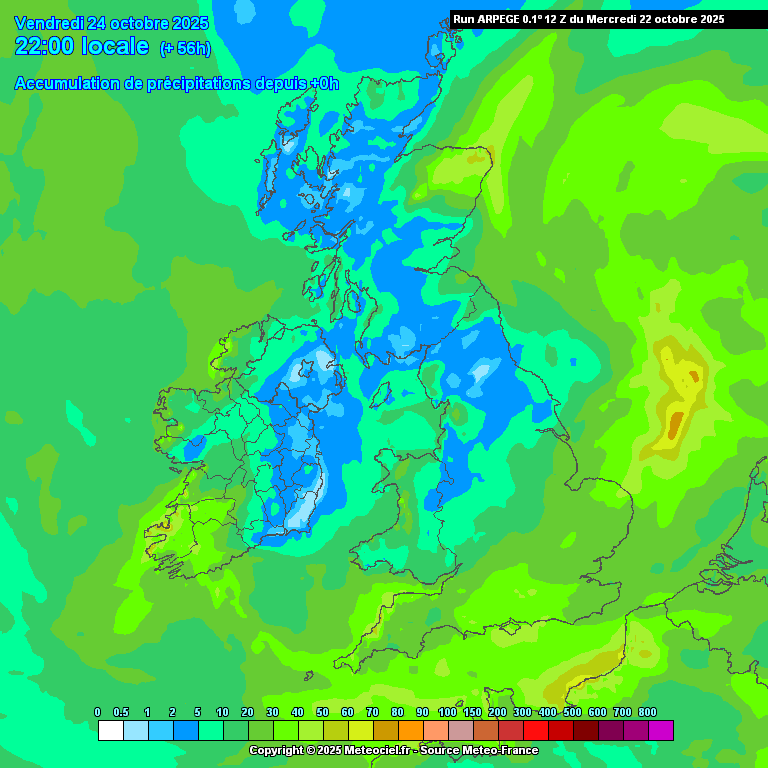
Rainfall will vary widely, with 20 to 30mm expected in parts of the west while much of Leinster and eastern Ulster could see less than 5mm.
Spot flooding is possible in Atlantic coastal areas, particularly west Munster and south Connacht, while eastern counties may remain largely dry.
Met Éireann has issued a Status Yellow rainfall alert for counties Galway, Roscommon and Longford until 8am today, along with a series of marine warnings, including a Small Craft Warning for all coasts of Ireland, with northwest to west winds expected to reach force six or higher until midnight on Friday.
A Status Yellow Gale Warning is also in place from Dungarvan to Valentia to Rossan Point, where westerly winds may reach gale force eight at times between Thursday evening and Friday lunchtime.
Meanwhile, a secondary low-pressure system is expected to deepen over the English Channel on Thursday. The system, named Storm Benjamin by Météo France, will bring strong winds and heavy rain to southeast England and northwest France.
The UK Met Office has issued multiple warnings in response to the developing storm.
Ireland’s weather will turn cooler and more settled for the weekend.


