Ireland Faces Colder, Drier Spell Before Rain Returns

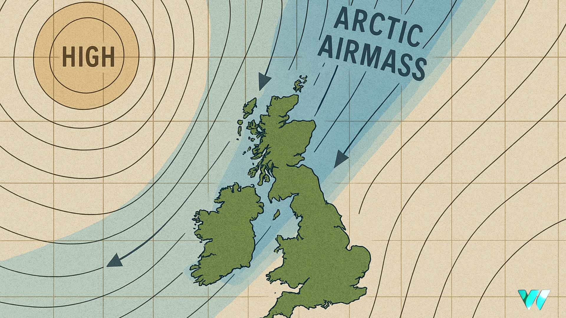
Ireland is set for a drier and colder spell of weather next week as a northerly airflow establishes over the country.
High pressure over the mid-Atlantic will bring more settled conditions with below average rainfall amounts. Temperatures will be slightly below the seasonal norm generally but closer to average in coastal fringes of the south-west, south and east.
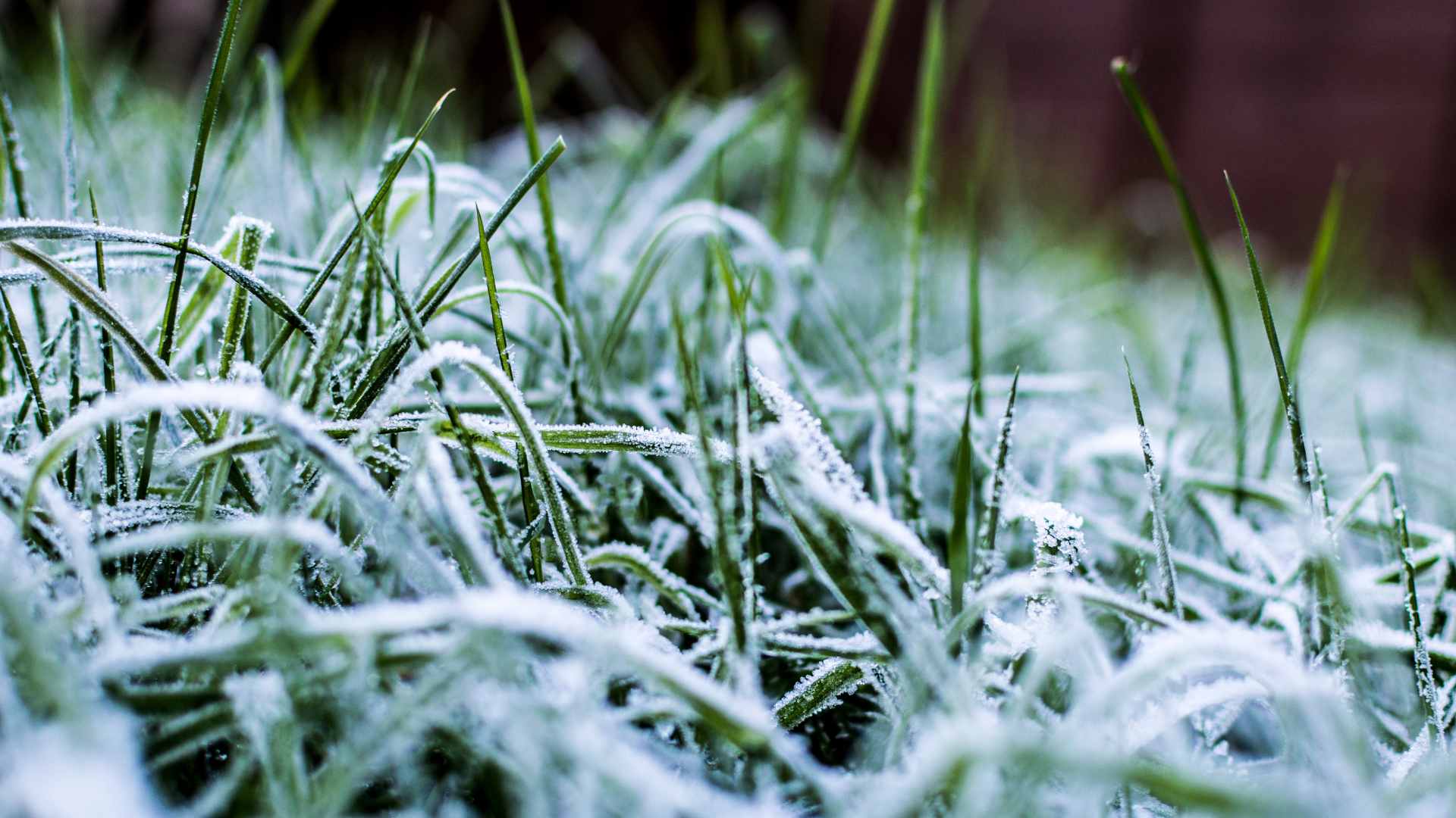
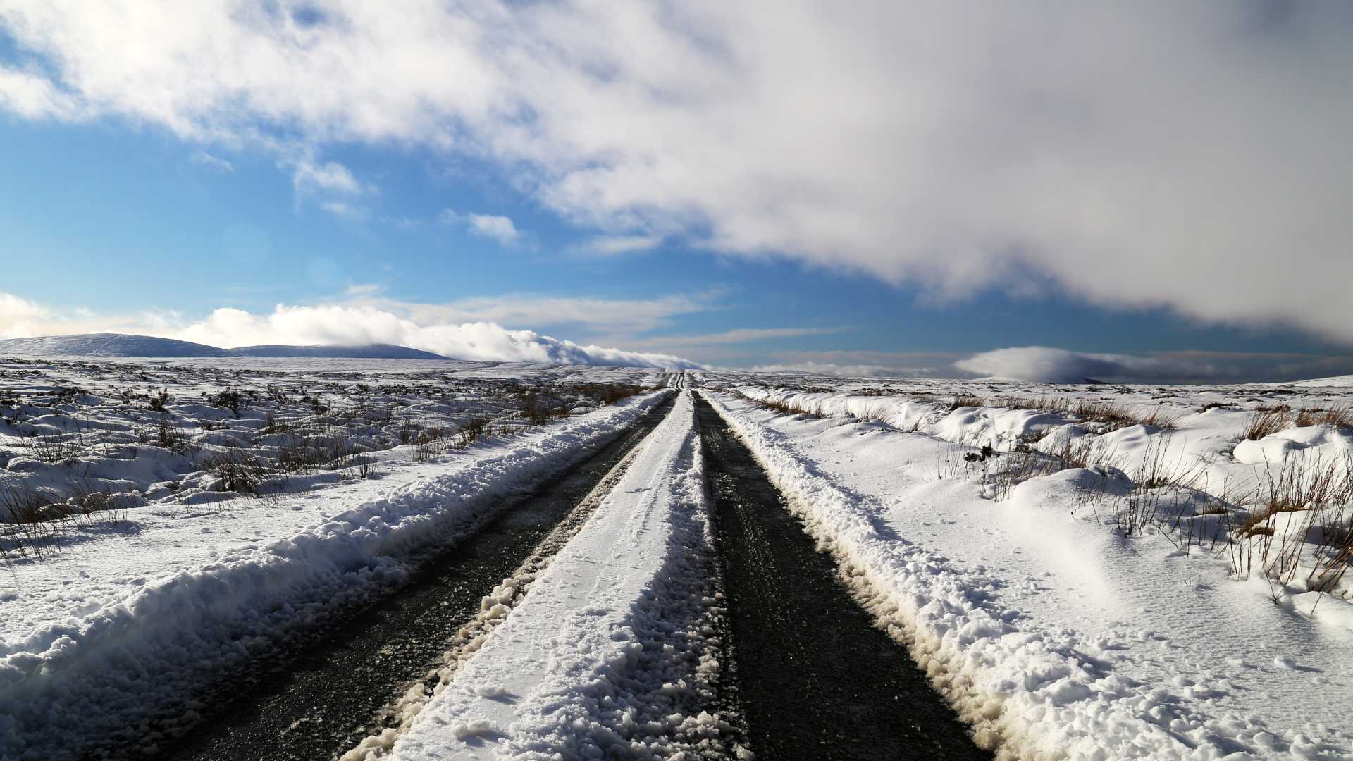
From Sunday night through next week, there will be an increasing risk of overnight frosts. It will feel much colder than of late next week, particularly with a notable wind chill effect across Ulster and Connacht.
By late on Friday of next week, the weather is likely to turn more unsettled as low pressure systems and a milder south westerly airflow return.
Rainfall totals will increase across the western half of Ireland in particular with a rise in temperatures. The unsettled pattern is expected to continue through the opening week of December with no current indication of a severe cold spell, although temperatures will remain close to average overall.
Meanwhile, Met Éireann’s seasonal outlook for November, December and January indicates above average temperatures overall, typically 0.5 to 1.0°C higher than normal. Short periods of colder weather with winter hazards remain possible, the national forecaster says. Rainfall is less certain with both wetter and drier spells likely. Sea surface temperatures around Ireland and in the Atlantic are expected to be above average, particularly in December and January.
Share this WeathÉire story:


