 in Irish Weather History 1")


New Satellite System Tracks Global Land Changes in Near Real Time
A new satellite monitoring system is giving scientists almost instant insight into how the world’s land surfaces are changing, according to research published in Nature Communications.
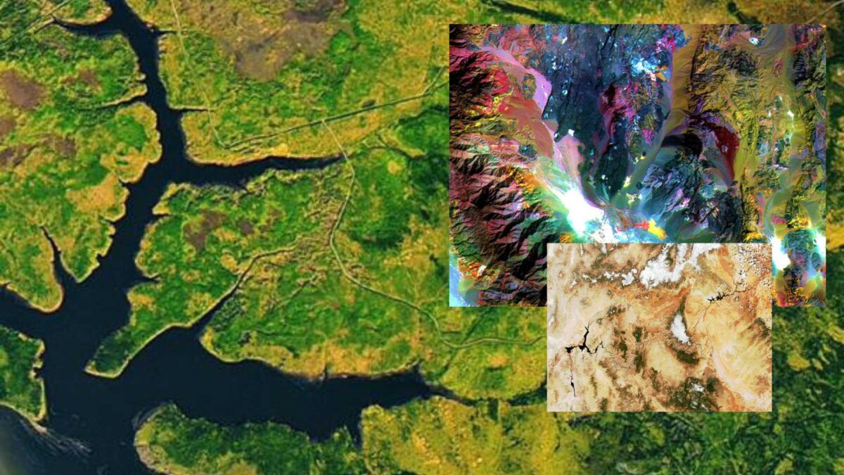
The OPERA Land Surface Disturbance Alert system, known as DIST-ALERT, is the first to track global land surface changes caused by human activity, weather events, wildfires and other forces. Until now, most monitoring focused only on certain parts of the planet, such as tropical rainforests, and on specific types of change like forest loss or fire.
Developed by researchers at the University of Maryland, DIST-ALERT combines data from five satellites operated under the Landsat and Sentinel programmes to produce updates far more quickly than older systems. A single satellite can take several days to return to the same location, but by using five satellites, DIST-ALERT shortens that cycle to between one and four days.
“These satellites are affected by cloud cover, and if we don’t see the ground, we don’t know whether disturbances have happened,” said Amy Pickens, an assistant research professor at the University of Maryland’s Department of Geographical Sciences and lead author of the study. “With more observations we get more opportunities for a cloud-free view, and each observation can matter a great deal, particularly in cloudy regions.”
Using data from DIST-ALERT, scientists found that most of the land changes in 2023 were caused by natural climate variations. These included vegetation loss due to heat or drought and increased plant growth following heavier rainfall. The next most common cause was human-led management, such as switching crop types or changing the timing of harvests.
In total, human-led land conversion last year covered about 28.6 million hectares, an area larger than Ecuador. Roughly half of that consisted of forests, shrublands, grasslands or wetlands being turned to other uses.
“The conversion of natural lands for human use is a significant contributor to climate warming,” said Professor Matthew Hansen, a co-author of the paper. “The result is increasingly unusual weather across the world, often seen in our data as widespread vegetation loss caused by fire, drought, flooding and storms.”
DIST-ALERT data is publicly available through the Land Processes Distributed Active Archive Center. Some organisations, including Global Forest Watch, are now using it to expand their alert systems beyond tropical forests to cover all types of land.
“There are a lot of aspirations to protect and manage land better, but you cannot do that without good data,” said Pickens. “DIST-ALERT’s rapid monitoring makes that data far more useful, not just for policymaking but also for responding to individual events.”
Share this WeathÉire story:

