 in Irish Weather History 1")


Generally settled outlook despite mid-month blip
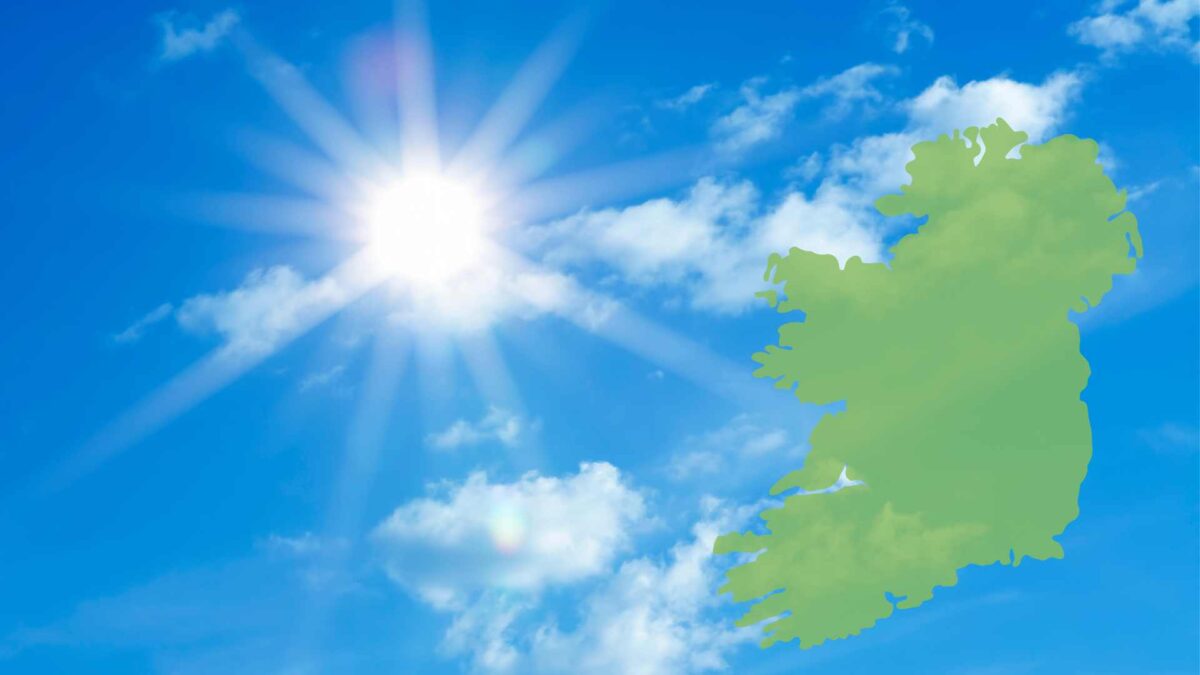
Dry and sunny conditions will persist through next week as high pressure remains the dominant feature of our weather.
Conditions will gradually become a little more changeable next weekend with showers at times, with some rain for all areas at times during the following week.
Indications are that high pressure will become re-established over or close to Ireland as we move into the final third of the month, bringing a return to settled conditions.
It has been an exceptionally dry start to April following a drier than average March.
Rainfall amounts ranged from just 0.5mm at Casement Aerodrome in Dublin (4% of its average) to 6mm at Valentia in Kerry (24% of its average), according to Met Éireann.
The coming 7 days will be mostly dry with just trace accumulations expected.
There will be widespread sunshine each day, with the warmest temperatures occurring in the west.
Temperatures will initially range from 16 to 18 C in western regions to 11 to 13 C in the east.
Moderate east winds will ease later on Sunday and into next week, which will allow temperatures in eastern counties to rise into the mid-teens.
The nights will become chilly away from the coast during the coming week, dropping into low single figures. Temperatures will range from 1 to 6 C, coldest in the Midlands and mildest in the southwest.
Drying conditions will be excellent for the coming week.
However, increasing soil moisture deficits will reduce grass growth, particularly in the Midlands and the East of Ireland.

Rain or showers are likely next weekend as temperatures drop from the high to mid-teens.
The more changeable conditions will continue into the start of the following week, but high pressure will build once again allowing drier conditions to develop as we move into the final 7 to 10 days of April.
Temperatures will also being to recover.
Share this WeathÉire story:

