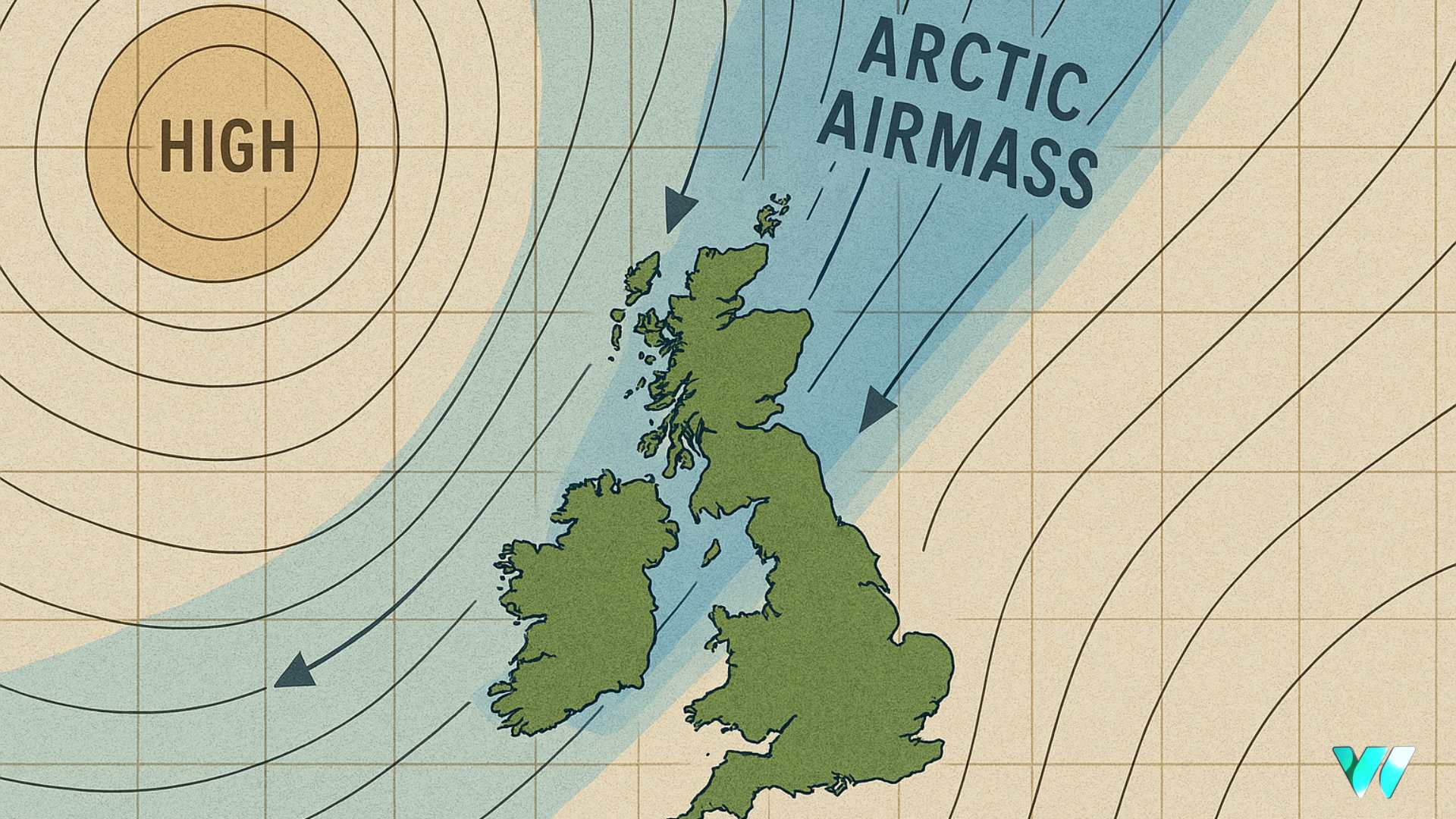
North-South divide on rainfall totals over past week

Rainfall over the past seven days has created a distinct north-south divide across Ireland.
Northern and midland regions experienced above-average precipitation, while southern areas saw significantly less rainfall than typical for this time of year. This uneven distribution has resulted in contrasting soil moisture conditions across the country.
The wettest location was Ballyhaise in Co. Cavan, which recorded 33.1mm of rainfall – more than double the average at 211% of normal levels. In stark contrast, Met Éireann says Cork Airport in the south recorded just 8.6mm, representing less than half the expected rainfall at only 46% of average.
Rainfall Forecast
The week ahead promises continued unsettled conditions with frequent rainfall events. Rain and showers will persist across the country, with some areas experiencing particularly heavy downpours. Thunderstorms are also possible, adding to the potential for intense rainfall in localized areas.
Rainfall accumulations are forecast to exceed average levels in most regions, with some parts expecting one and a half to twice their normal rainfall amounts. This continued wet pattern will further contribute to the already saturated conditions in northern and midland areas.
Impact of Rainfall on Soil Conditions
The recent and forecasted rainfall patterns are directly affecting soil moisture levels nationwide. Soil moisture deficits currently range from 0mm to +45mm, with the driest soils concentrated in southern regions where rainfall has been below average. However, most soils in the north midlands are approaching or have reached saturation point due to the persistent rainfall.
The continuing wet weather will cause soil moisture deficits to decrease further over the coming week, potentially leading to waterlogged conditions in areas that have already received substantial rainfall.
The frequency and intensity of expected rainfall will significantly impact farming operations. Drying conditions will remain poor throughout the week due to the regular occurrence of showers and longer periods of rain. While brief improvements may occur during sunny intervals today and tomorrow, and possibly toward the end of the forecast period, the overall wet pattern will dominate.
Field access and machinery operations will be challenging, particularly in areas where soils are already saturated. The combination of recent heavy rainfall and forecasted continued precipitation creates difficult conditions for time-sensitive agricultural work.
Other Weather Elements
Temperature Trends Recent mean air temperatures have been slightly below average, ranging from 10.3°C at Ireland West Airport (Knock) to 12.6°C at Valentia Observatory. The coming week will see temperatures rise above average by up to 2 degrees, with soil temperatures also expected to increase slightly.
Sunshine and Visibility Sunshine hours varied considerably, from 19.7 hours at Valentia Observatory (51% of average) to 37.3 hours at Malin Head (98% of average). With continued rainfall expected, sunshine amounts will likely remain below average for the season.
Agricultural Implications Limited spraying opportunities exist today, though conditions will be challenging due to rainfall frequency. The persistent wet conditions underscore the dominant role rainfall is playing in shaping current agricultural decision-making and field management strategies.
Share this WeathÉire story:


