South Drier as Showers Soak the North

It’s been a tale of two Irelands this week, as the south and southwest managed to dodge the worst of the rainfall, while the north and east got more than their fair share of downpours.
The wettest spot? Ballyhaise, Co. Cavan, where 49.3mm fell — that’s 313% of normal. In contrast, parts of the south saw just 8.7mm, less than half the typical rainfall for this time of year.
While thundery showers are expected to linger into the weekend, more settled conditions are on the way from Monday. Rainfall totals for next week look below average for the west and north, with heavier falls possible in the east.
Temperature-wise, it’s been a mild week — Knock Airport recorded a low of 12.1°C, while Shannon Airport topped the charts at 14.2°C. Warmer days are ahead, with air and soil temperatures expected to rise, especially across the midlands, where soil is already running nearly 2 degrees above normal.
Sunshine has been harder to find. Cork Airport saw just 12.8 hours of sun — that’s 31% of the norm — while Dublin Airport fared better with 32.2 hours. The good news? Brighter days are expected for most of the country next week.
According to Met Éireann, field conditions are holding up well in the south, where soil moisture deficits are highest — up to +45mm. Meanwhile, in the north and northwest, saturated soils continue to hamper fieldwork, especially on poorly drained land.
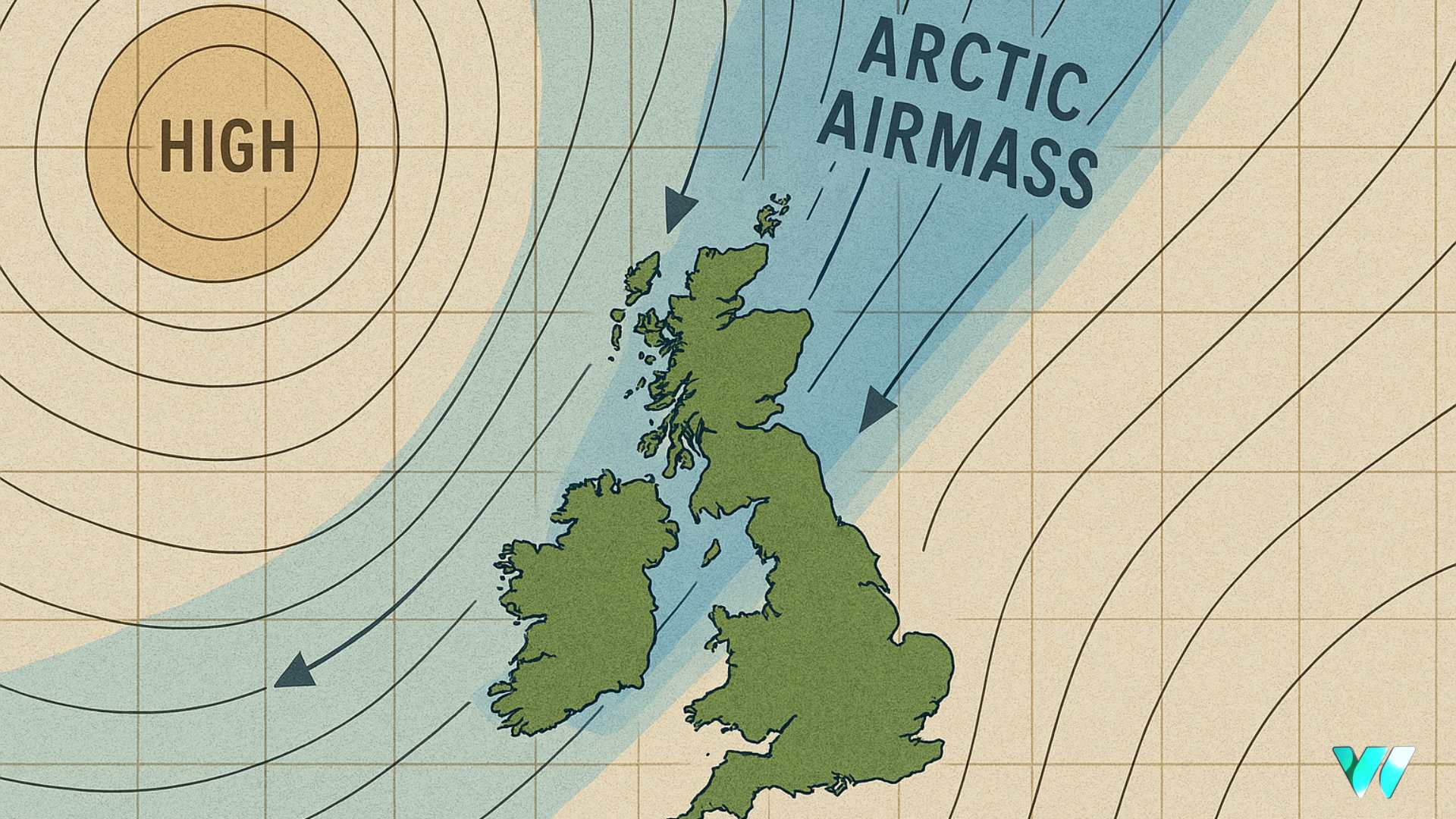
Expect poor drying conditions through the weekend, but high pressure should bring better opportunities for spraying and field work from midweek.


