


 in Irish Weather History 16")

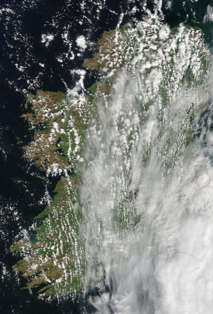
Cloud hugs Irish Sea coastline
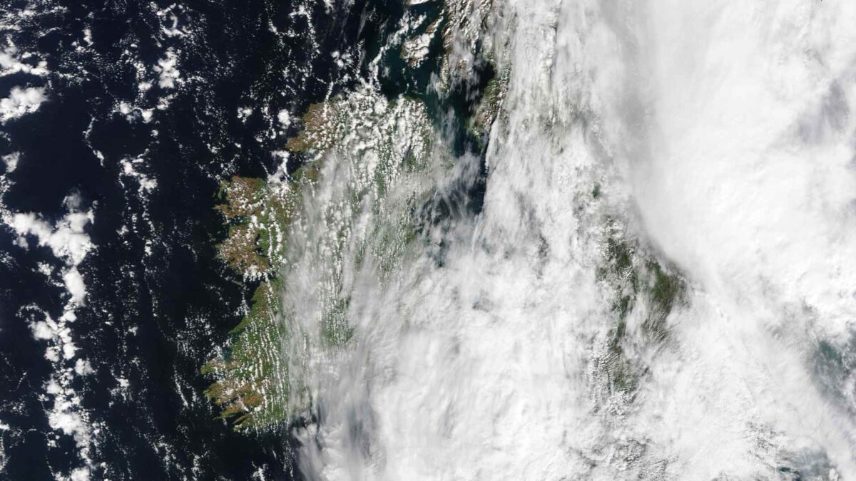
Extensive cloud cover over much of Ireland gave way to sunny spells on Tuesday.
Extensive clear skies were visible over the western half of Ireland when the NASA MODIS satellite passed over shortly before midday.
Apart from some scattered showers, Munster, the South Midlands, and parts of Connacht will stay largely dry until Thursday evening.
Temperatures here will range from 11 to 13°C with some overnight frosts in sheltered inland locations.
East Leinster and Ulster will bear the brunt of the heavy rainfall over the next 48 hours as an occluded front spreads north along Ireland’s eastern seaboard from Tuesday night into Wednesday.
A Status Yellow Rainfall warning has been issued for Northern Ireland. The UK Met Office is warning of persistent, and at times heavy, rain bringing some disruption to travel and potential for local flooding.
There is a risk of sleet and wet snow on high ground before the system clears Ulster’s north coast on Wednesday evening, with settling snow likely over parts of the Wicklow/Dublin Mountains.
Temperatures in eastern and northern counties will struggle to rise above 7°C during Wednesday.


 in Irish Weather History 54")


 in Irish Weather History 58")


