Met Office warns of Atlantic’s return by month’s end

The largely dry and settled spell that has characterised much of August looks set to break down towards the end of the month, with the UK Met Office suggesting a shift back to a more Atlantic-driven weather regime.
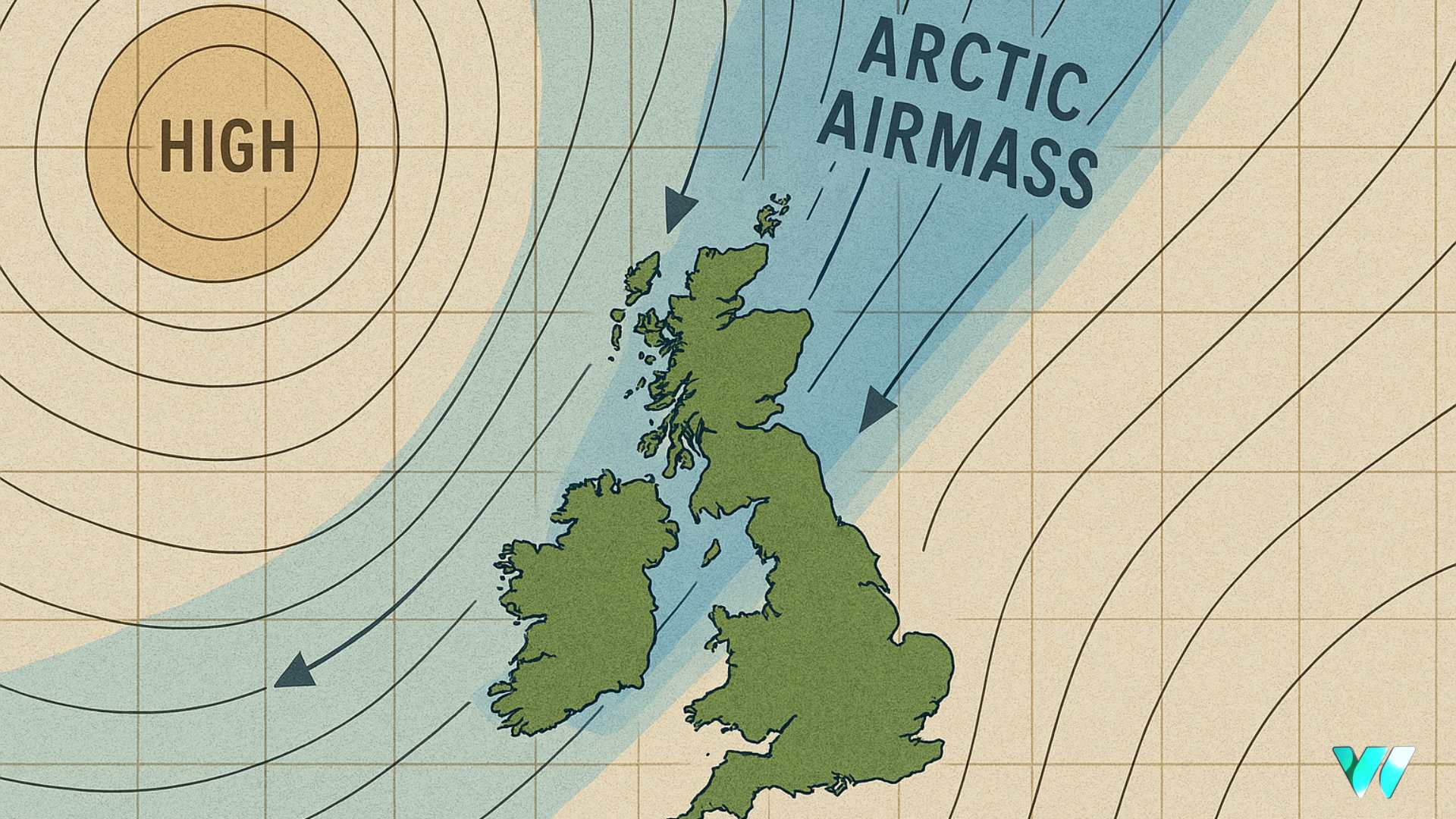
In its latest long-range outlook, the Met Office said high pressure is likely to remain in place initially, keeping conditions fine and dry, albeit rather cool under a northerly airflow. However, from next weekend onwards, frontal systems are expected to encroach from the west, bringing a spell of more changeable weather.
As reported on WeathÉire.com throughout recent days, Hurricane Erin, currently a powerful storm over the western Atlantic, is likely to bring about less settled conditions. A deep area of low pressure linked to Erin is projected to develop in the North Atlantic and move towards Britain and Ireland in the opening days of the final week of August. This could herald a period of wetter and windier conditions, especially in the west and north, though the exact evolution remains uncertain.
Looking into early September, the UK Met Office says low pressure systems and unsettled conditions are more likely to dominate. While the precise pattern is unclear, there is potential for spells of heavy rain or strong winds at times, with temperatures expected to remain around or slightly above average overall.


