Dry, settled and warm until mid-April

Dry, settled and warm conditions will persist until mid-April across Ireland.
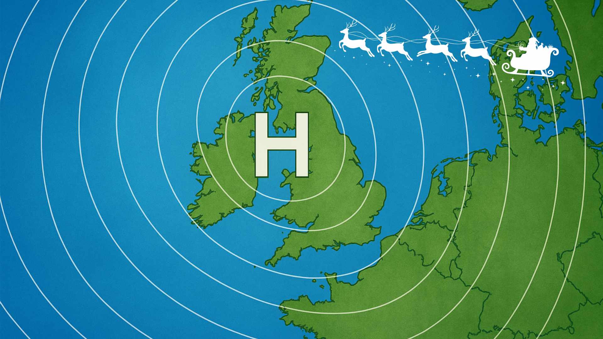
High pressure will be the dominant feature of our weather for the next 10 to 14 days, extending an exceptionally dry period that began in early March.
Rainfall totals were close to half of the seasonal average in most parts of Ireland during March, with many locations likely to remain completely dry over the next fortnight
The only appreciable rainfall indicated for the next 10 days will occur on Thursday night in parts of Munster and Leinster as a disturbance over the Bay of Biscay drifts northwestward. Overall rainfall totals are expected to be low.
There are signs that the High-Pressure influence may weaken in two weeks’ time as Atlantic systems approach from the southwest.
In the meantime, there will be spells of unbroken sunshine each day with temperatures potentially climbing to 20 °C in the west on Friday.
It will turn slightly cooler over the weekend before warming up again next week.
It will be warmest away from southern and eastern coastlines, which will remain cooler due to a moderate easterly wind.
Temperatures in southern and eastern coastal counties will be closer to 10 to 13 °C.
Easterly winds will turn southerly by Sunday and will become lighter before turning variable next week.
The chance of overnight frost may increase for sheltered inland locations from Saturday night.
Share this WeathÉire story:


