


Irish Scientists Set Sail to Map Barbados Waters
Ireland and Barbados have launched a new phase in marine cooperation, with scientists from the Marine Institute set to begin mapping the seafloor around the Caribbean island this summer.
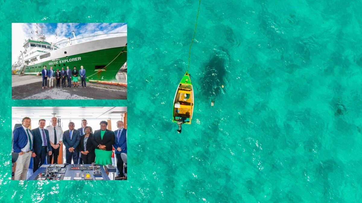
Under a new Memorandum of Understanding (MoU) between Ireland’s Marine Institute and Barbados’ Coastal Zone Management Unit (CZMU), the RV Celtic Explorer will conduct a detailed bathymetric survey within Barbados’ Exclusive Economic Zone (EEZ) from mid-August to mid-September 2025. The multi-year research effort, expected to span five to seven years, aims to chart water depths, identify seabed features, and assess potential marine resources in the region.
The data collected will feed directly into the development of a Marine Spatial Plan (MSP) for Barbados, helping to shape policy on the sustainable use of the island’s ocean territory.
The collaboration will also see Barbadian marine personnel working side-by-side with Irish scientists aboard the Celtic Explorer, fostering knowledge exchange and building research capacity. The project contributes to the United Nations Sustainable Development Goals and is aligned with the Marine Institute’s Our Shared Ocean programme, which is funded through Irish Aid and supports partnerships with Small Island Developing States (SIDS).
Dr Rick Officer, CEO of the Marine Institute, welcomed the milestone agreement, describing it as a powerful example of Ireland’s commitment to international scientific cooperation.
“This summer’s survey marks an important step in strengthening relations between Ireland and Barbados. It also reflects our dedication to supporting global ocean science and sustainable development, particularly in vulnerable island nations,” he said.
Based in Galway, the Marine Institute is Ireland’s national agency for marine research and innovation. It leads INFOMAR, one of the world’s largest seabed mapping programmes, which has been charting Ireland’s marine territory since 2006 in collaboration with Geological Survey Ireland.
The Barbados project will mirror elements of INFOMAR’s success, providing vital data to inform marine planning and conservation efforts in the Caribbean region.
Further updates on the survey’s progress will be shared via the Marine Institute’s channels as the mission gets underway later this month.
Share this WeathÉire story:


 in Irish Weather History 72")


